Map tool
# Cadastral map of Reutlingen
Enter an address in Reutlingen and view the boundaries for free – all dimensions of your plot as a PDF for €9.00.
The parcel sheet is a print-ready PDF at a standard scale (1:250 to 1:2500, A4 to A2), with boundary lengths and area, as an instant download. [ Select a parcel ↓ ](#flurkarte-tool)
[ ← All regions ](https://schwarzplan.eu/en/cadastral-map/)
Baden-Württemberg · Cadastral parcels · Open geodata
→
→
Drag to move · handle rotates
Blurred = readable in the file you buy: every boundary length, every angle, area, perimeter and setbacks – dimensioned to scale.
The file is being generated – just a few seconds.
You have generated a lot of previews in the past hour. Please try again later.
The preview cannot be generated right now. The extract itself is unaffected.
- ✓ All boundary lengths & angles
- ✓ Area & setbacks
- ✓ Instant PDF
Instant download · all boundary lengths and area · print-ready for bank, agent or neighbours Not an official extract.
For orientation, not a permit.
More on this project
Roof shape
Drag the point up or down: pitch · sideways: mono-pitch roof
Delete this project?
Building, dimensions and position will be discarded, including the copy saved in your browser. Links you have shared will keep working.
For the building authority and neighbours: **Building file €29.00** ·
Instant download · all boundary lengths and area · print-ready for bank, agent or neighbours Not an official extract.
Share parcel
WhatsApp Email
Area per parcel
Parcel ID
Scale
All formats cost the same. Preselected is the one that shows your parcel largest.
Setback areas
- Crosses the boundary
- Wall on the boundary (boundary building): no setback area there.
- On the map: drag to move, the round handle rotates. Keyboard: arrow keys move, Shift and arrow keys rotate.
- The sheet shows the project, the setback areas and the distance to every boundary.
For orientation, not a permit. These figures reproduce the state building code. A local by-law, a development plan or a registered building encumbrance can set different dimensions — and there is no nationwide register of such by-laws. Only the building authority's own information is binding. [What the zoning plan says](https://schwarzplan.eu/en/german-zoning-plans/)
Building file
For the building authority, neighbours and your planner – one PDF and one CAD file:
- Your project on the sheet, with distances to the boundary
- Setback check under your state building code, boundary by boundary
- Side view with heights and setbacks
- Do I need a building permit? Your state's size limits
- Information sheet for the neighbours
- CAD file for your architect or planner
- Planning aid, not an official site plan, no legal advice.
Just the sheet with your project: €15.00.
Non-binding orientation — not an official cadastral extract
### Data sources & licences Data sources in this map extent
Base map: © OpenStreetMap contributors, © OpenFreeMap
## Matching your plot in Matching your plot
Digital map · download · instant PDF · incl. VAT
Bundle · every plan in the country · incl. VAT Baden-Württemberg
## Cadastral parcels in Reutlingen
Cadastral parcels 58,928
Cadastral districts 27
Cadastral sectors 30
Median size 570 m²
Average size 1,780 m²
Calculated across 87 km² of city area from the official German cadastre (Liegenschaftskataster). All parcels touching the city area are counted. As of 2026-10-26.
How a parcel identifier (Flurstückskennzeichen) is built
08
Country
1925
Cadastral district
000
Cadastral section
418
Numerator
Example from Reutlingen: 08192500000418000100. The first two digits identify the federal state, followed by the cadastral district (Gemarkung), the cadastral sector (Flur) and the parcel numerator.
[All cadastral maps in Baden-Württemberg](https://schwarzplan.eu/en/cadastral-map/baden-wuerttemberg/) · Get the official extract from [LGL Baden-Württemberg](https://www.lgl-bw.de/). · [Setback areas in Baden-Württemberg](https://schwarzplan.eu/en/setback-areas/baden-wuerttemberg/)
More cities in Baden-Württemberg: [Aalen](https://schwarzplan.eu/en/cadastral-map/aalen/), [Backnang](https://schwarzplan.eu/en/cadastral-map/backnang/), [Bietigheim-Bissingen](https://schwarzplan.eu/en/cadastral-map/bietigheim-bissingen/), [Esslingen am Neckar](https://schwarzplan.eu/en/cadastral-map/esslingen-am-neckar/), [Freiburg im Breisgau](https://schwarzplan.eu/en/cadastral-map/freiburg-im-breisgau/), [Freudenstadt](https://schwarzplan.eu/en/cadastral-map/freudenstadt/)
From the shop
## Plans for Reutlingen
- Baden-Württemberg
[Tübingen - Reutlingen](https://schwarzplan.eu/en/figure-ground-plan-site-plan-tuebingen-reutlingen/?utm_source=flurkarte&utm_medium=stadtliste&utm_campaign=kataster-cross-sell)10,00 €
incl. VAT
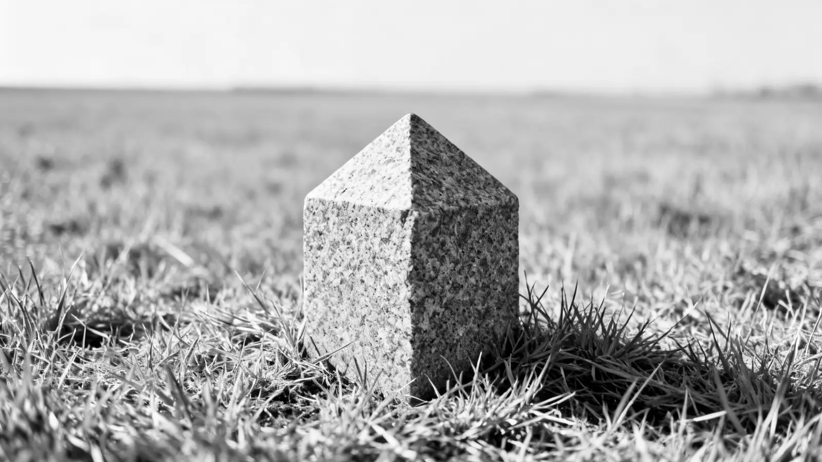 The boundary stone marks on the ground what the cadastral map shows as a line – you find it via the cadastral district, sector and parcel number. Terminology
## Flurkarte, Liegenschaftskarte, Katasterplan — what is the difference?
None. It is the same map. Which name it carries depends on the federal state, the authority and how old the usage is. The only real distinction is between the map itself and the official document produced from it.
| Term | What it means | Where the term is official |
|---|---|---|
| Cadastral map | The official map of the German land register (Liegenschaftskataster), showing parcel boundaries, parcel numbers and buildings. | The current technical term nationwide, introduced with ALKIS. |
| Cadastral map | The same map. The older name, still in everyday use. | Still the official product name of the state survey authority in Bavaria (Digitale Flurkarte, DFK) and North Rhine-Westphalia (Amtliche Flurkarte NRW). |
| Katasterplan, Katasterkarte, Flurplan | Again, the same map. | Nowhere — colloquial, but widely used. |
| Katasterauszug, Auszug aus der Liegenschaftskarte | Not the map, but the official document derived from it — sealed, chargeable and legally binding. | Nationwide. Only the cadastral office issues it. |
| ALKIS | Not a map name but the system behind it. It merged the former cadastral map (ALK) and the cadastral register (ALB). | Nationwide, introduced in every federal state. |
For Reutlingen the data is maintained by LGL Baden-Württemberg. Whatever the map is called there changes nothing about its content — or about the fact that you can view it above without signing up.
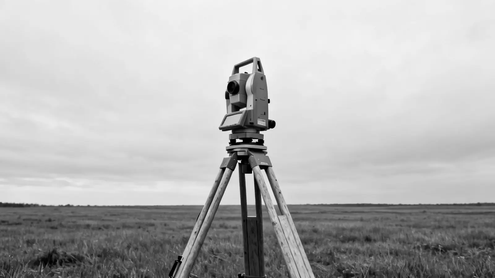 A boundary only becomes binding through a survey. The online map shows the cadastral record, it does not replace it. What it is good for
## When is the online map enough — and when do you need the official extract?
This map is enough
- Looking up a parcel number or cadastral district
- Estimating a plot's shape and its neighbouring boundaries
- Preparing for a purchase or an estate agent meeting
- A first assessment before dealing with the authorities
Official extract required
- Building applications and submission documents
- Notary appointments, purchase contracts, the land register
- Boundary disputes and surveying
- Anything requiring legally binding documentation
For Reutlingen, official extracts are issued solely by LGL Baden-Württemberg — the responsible body is the cadastral authority of your district or independent city. Depending on the format, fees are typically in the low double digits (euros).
[ Site plan for a building application → ](https://schwarzplan.eu/en/site-plan-for-building-application/) [ Bebauungsplan: what may be built? → ](https://schwarzplan.eu/en/german-zoning-plans/)
In between: the parcel sheet
If you need the sheet but no certification: your parcel as a print-ready PDF at a standard scale of 1:250 to 1:2500, sheet size A4 to A2 at the same price, with north arrow, scale bar, title block and source note. €9.00, download right after payment.
[ Select your parcel on the map ↑ ](#flurkarte-tool)
Taking it further
## Site plan of Reutlingen for design work and building applications
The cadastral map shows you the plot in Reutlingen. For design work, presentations and CAD you need its surroundings — to scale and on separate layers. That is exactly what our site plan delivers as PDF, DWG and DXF.
[ View the site plan of Reutlingen → ](https://schwarzplan.eu/en/figure-ground-plan-site-plan-tuebingen-reutlingen/?utm_source=flurkarte&utm_medium=seitenfuss&utm_campaign=kataster-cross-sell)
FAQ
## Cadastral maps, parcels & the German cadastre
### Can I view the cadastral map of Reutlingen online for free?
Yes. The map above shows the cadastral parcels of Reutlingen — no sign-up, no fee. The city area holds 58,928 parcels. It is a non-binding orientation based on official open geodata, not an official cadastral extract.
### How do I find my parcel number in Reutlingen?
Search for your address in Reutlingen above and zoom into the map. Parcel numbers appear once buildings become visible. A click reveals the cadastral district (Gemarkung), sector (Flur) and number — the city area holds 27 districts and 30 sectors.
### How large is a typical plot in Reutlingen?
Within the city area of Reutlingen, half of all cadastral parcels are smaller than 570 m² (median); the mean is 1,780 m². The mean sits consistently above the median because a few large areas — forest, industry, transport — pull it upwards.
### Are the property boundaries on this map legally binding?
No. The boundaries come from open geodata published by the state surveying authority and serve as orientation. Only the official extract from the German cadastre (Liegenschaftskataster) is legally binding — for Baden-Württemberg it is issued by LGL Baden-Württemberg. You need that extract for a building application, a boundary dispute or a notary appointment.
### Is the Flurkarte in Reutlingen also called Liegenschaftskarte or Katasterplan?
Yes, these all refer to the same map. Liegenschaftskarte is the current technical term from ALKIS, Flurkarte the older name, and Katasterplan, Katasterkarte or Flurplan are colloquial variants. For Reutlingen the map above shows the same content in every case: parcel boundaries, parcel numbers, cadastral district and land parcel block. The one genuine difference is the Katasterauszug — the sealed document produced from it.
### Where does the cadastral data for Reutlingen come from?
From the open geodata of Baden-Württemberg: © LGL-BW (2026), dl-de/by-2-0, www.lgl-bw.de. Figures as of 2026-10-26.