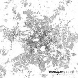
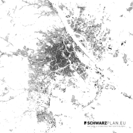
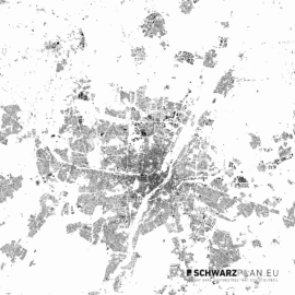
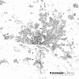
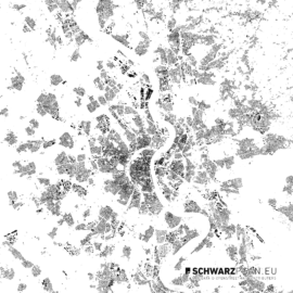
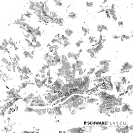
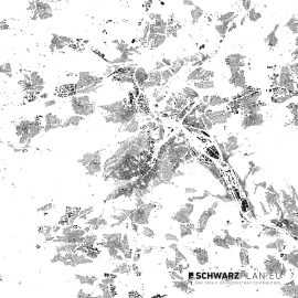
Basically we check the completeness of the building date of openstreetmap.org randomly. Since the building are based on satellite photos wich day of creation we don’t know, the figure ground plans usually do not reflect the current state of buildings. It may also happen that houses were not located in certain places. Our plans therefore might only be seen as a guide or basis, which must be in some places be adapted and supplemented on your own.
SCHWARZPLAN.eu - Site plans & figure ground plans for architects, planners and creatives
Schwarzpläne aller Welthauptstädte für 49 € im Welthauptstädte-PDF-Bundle
