Skip to content
219+ plans · available now · commercial license

Free · Download

Download 53 free figure-ground plans — PDF, DWG, DXF

SCHWARZPLAN.eu offers 53 figure-ground plans and site plans as free downloads — to-scale vector files as PDF, DWG and DXF, built in layers and editorially cleaned from OpenStreetMap data. Usable in studies, competition entries and office projects. The download starts after an email confirmation; nothing is paid.

Plans
53
Formats
3
Price
Free

Newsletter · free

One email — unlock all 53 free plans

Enter your email and then download every free plan straight from the list here — plus a personal 10% code for your first purchase.

Unlocked

All 53 free plans unlocked

Hover over a plan and download it straight away — as often as you like.

10% code at checkout
All plans

Pick your city
53 free

All-Access · Membership

All 219+ Plans.
One Price.

PDF · DXF · DWG
Commercial License
99 € View →
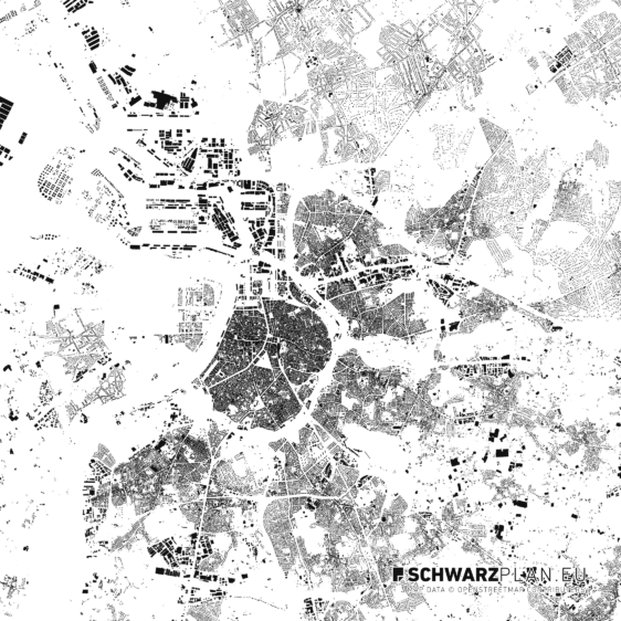
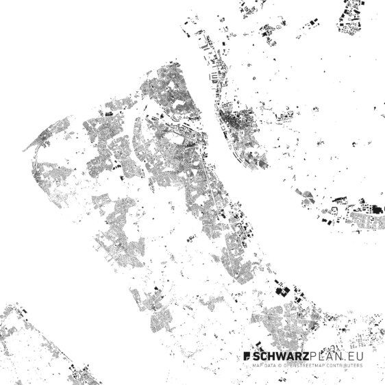
Antwerp Free

Antwerp

Free DWG · Layers · PDF
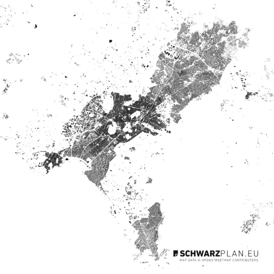
Athens Free

Athens

Free DWG · Layers · PDF
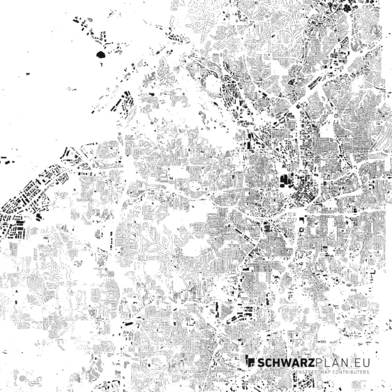
Atlanta Free

Atlanta

Free Layers · PDF
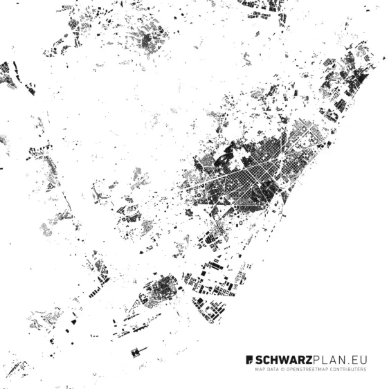
Barcelona Free

Barcelona

Free DWG · Layers · PDF
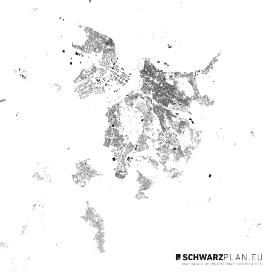
Belgrad Free

Belgrad

Free DXF · Layers · PDF
Bengaluru Free

Bengaluru

Free DWG · Layers · PDF
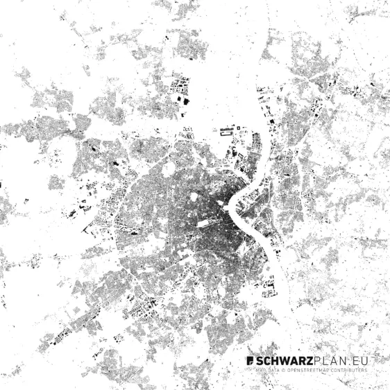
Bordeaux Free

Bordeaux

Free DWG · Layers · PDF
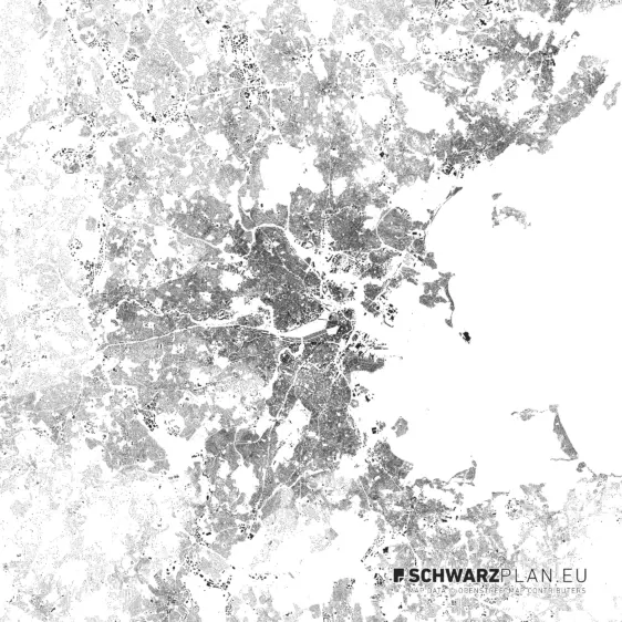
Boston Free

Boston

Free Layers · PDF
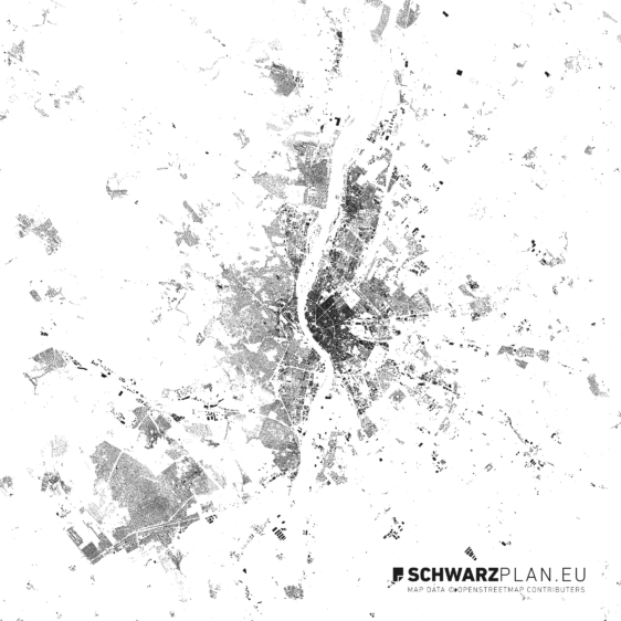
Budapest Free

Budapest

Free DWG · Layers · PDF
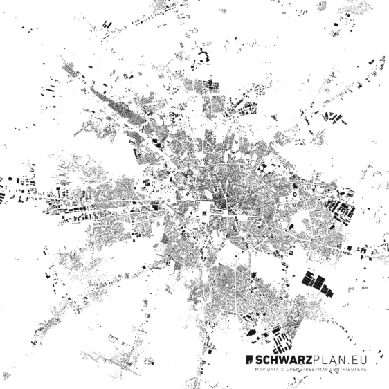
Bukarest Zentrum Free

Bukarest Zentrum

Free DWG · Layers · PDF
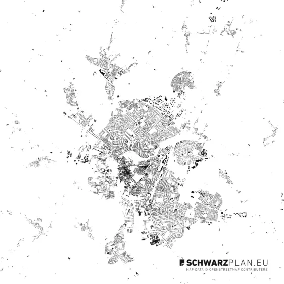
Cambridge Free

Cambridge

Free DXF · Layers · PDF
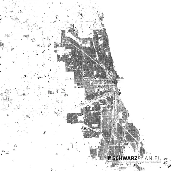
Chicago Free

Chicago

Free PDF · Layers
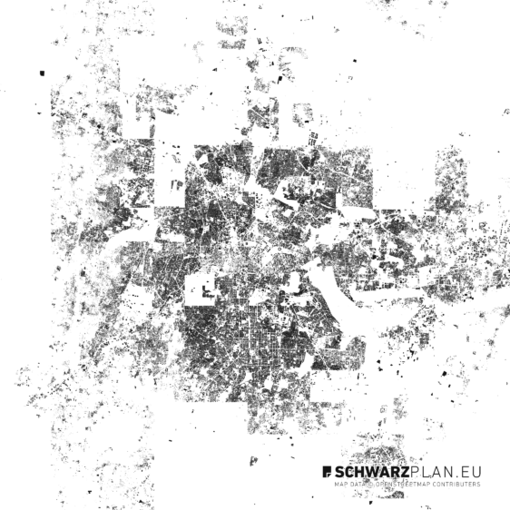
Dallas Free

Dallas

Free DWG · Layers · PDF
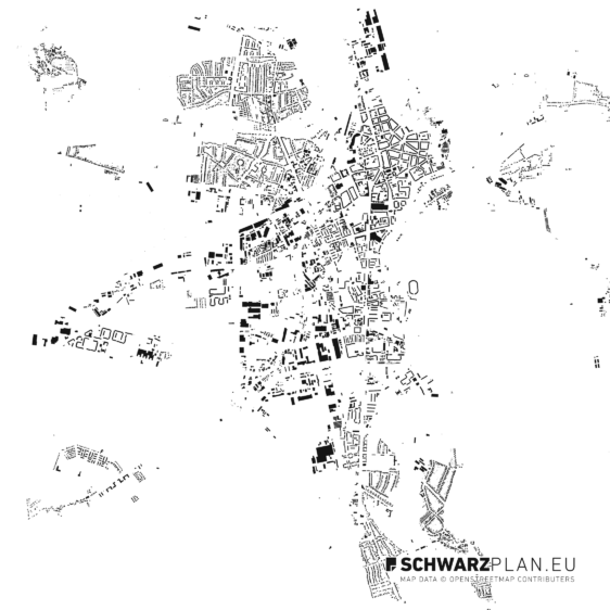
Dessau-Roßlau Free

Dessau-Roßlau

Free PDF · Layers
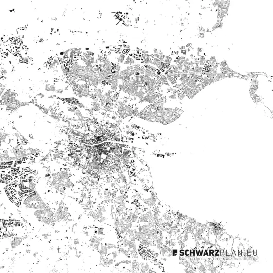
Dublin Free

Dublin

Free DWG · PDF · Layers
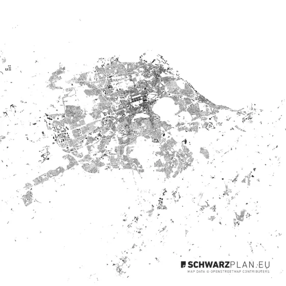
Edinburgh Free

Edinburgh

Free DWG · PDF · Layers
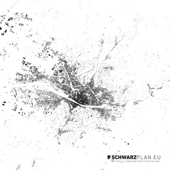
Florence Free

Florence

Free DWG · Layers · PDF
Freetown Free

Freetown

Free DXF · Layers · PDF
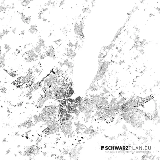
Geneva Free

Geneva

Free DWG · PDF · Layers
Glasgow Free

Glasgow

Free DWG · PDF · Layers
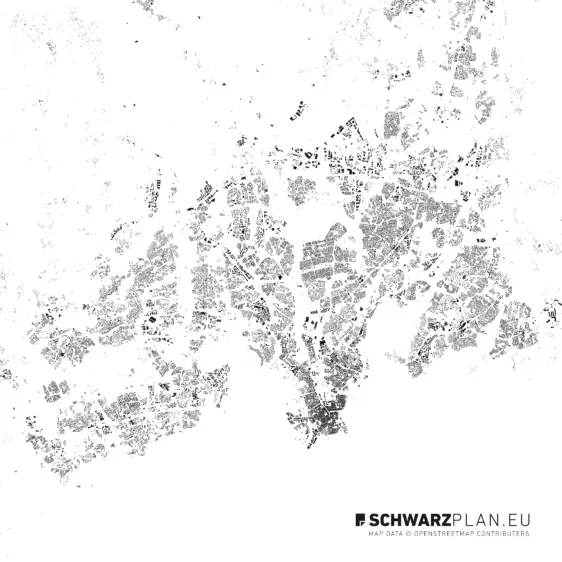
Helsinki Free

Helsinki

Free DWG · Layers · PDF
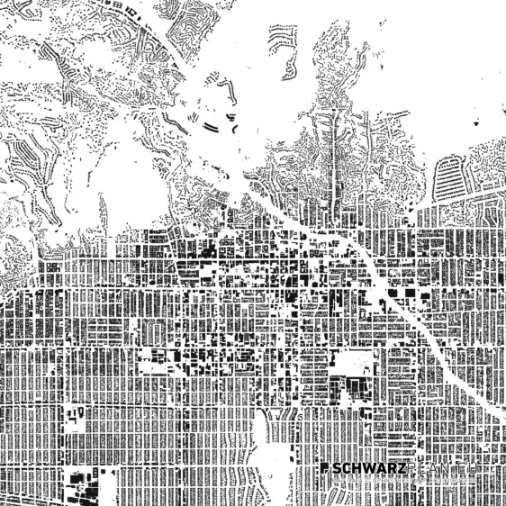
Hollywood - LA Free

Hollywood - LA

Free DXF · Layers · PDF
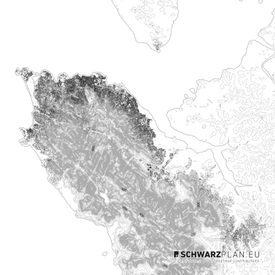
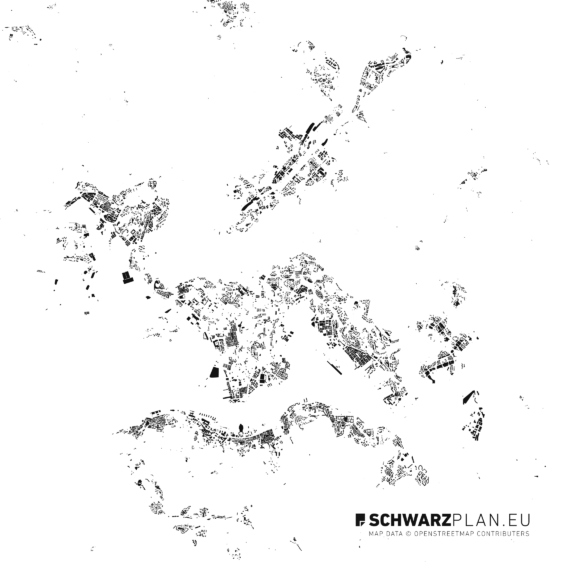
Hong Kong Free

Hong Kong

Free Layers · PDF
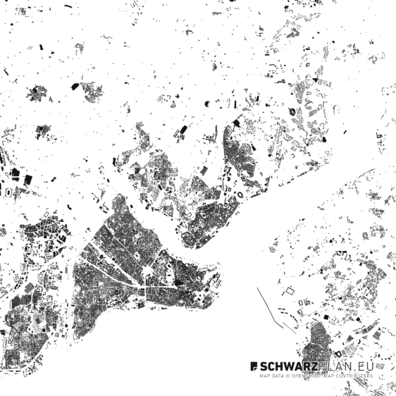
Istanbul Free

Istanbul

Free DWG · Layers · PDF
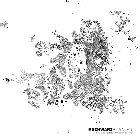
Jerusalem Free

Jerusalem

Free DWG · Layers · PDF
Kathmandu Free

Kathmandu

Free DXF · Layers · PDF
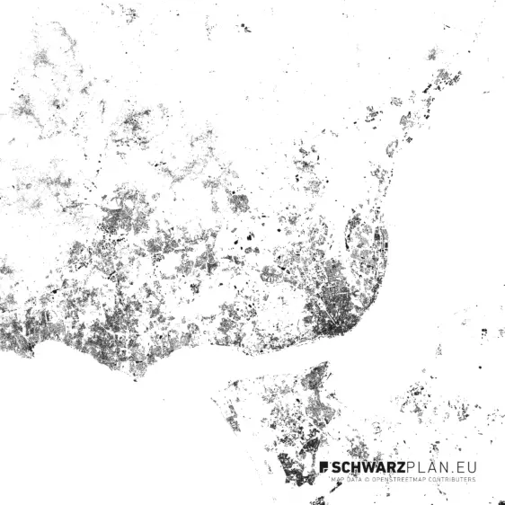
Lisbon Free

Lisbon

Free DWG · Layers · PDF
Liverpool Free

Liverpool

Free DXF · Layers · PDF
Ljubljana Free

Ljubljana

Free DWG · Layers · PDF
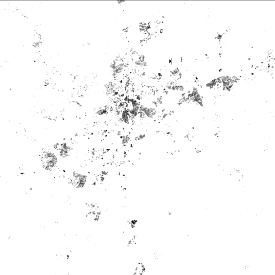
Madrid Free

Madrid

Free DWG · Layers · PDF
Malmö Free

Malmö

Free DWG · Layers · PDF
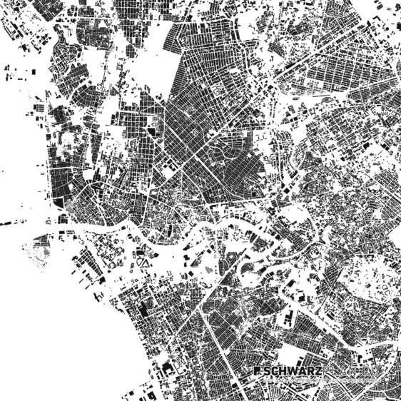
Manila Free

Manila

Free DWG · Layers · PDF
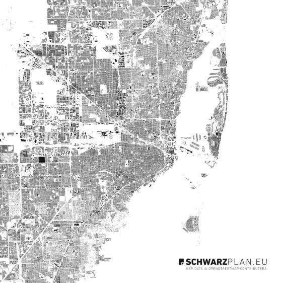
Miami Free

Miami

Free DWG · Layers · PDF
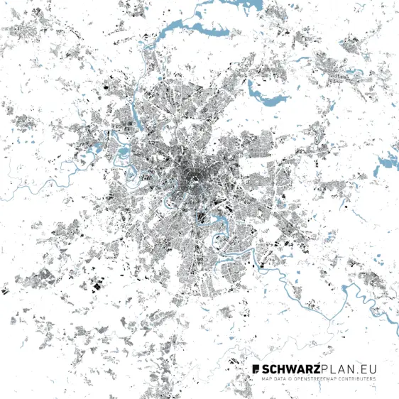
Moscow Free

Moscow

Free DWG · Layers · PDF
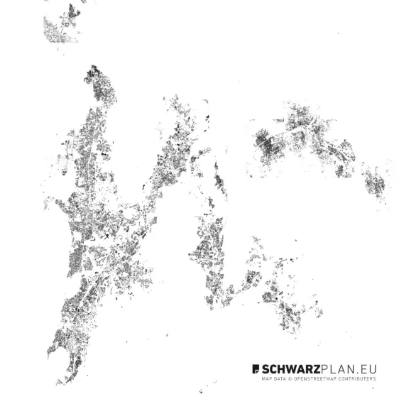
Mumbai Free

Mumbai

Free Layers · PDF
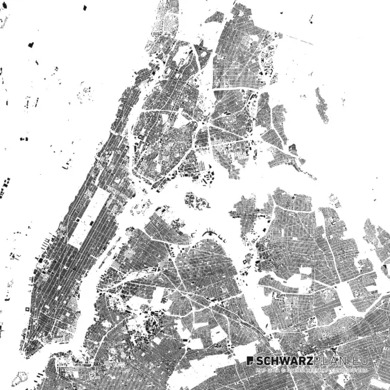
New York Free

New York

Free Layers · DWG · PDF
Reykjavik Free

Reykjavik

Free PDF · Layers
Riga Free

Riga

Free DWG · Layers · PDF
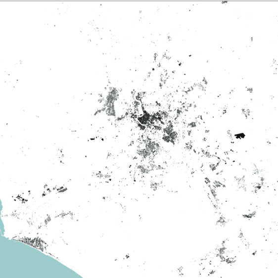
Rome Free

Rome

Free DWG · Layers · PDF
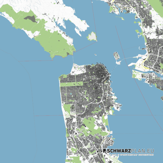
San Francisco Free

San Francisco

Free DWG · Layers · PDF
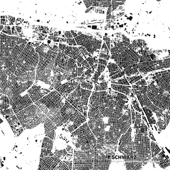
São Paulo Free

São Paulo

Free DWG · Layers · PDF
Sarajevo Free

Sarajevo

Free DXF · Layers · PDF
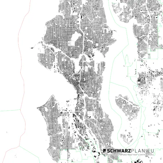
Seattle Free

Seattle

Free DWG · Layers · PDF
Singapore Free

Singapore

Free DWG · Layers · PDF
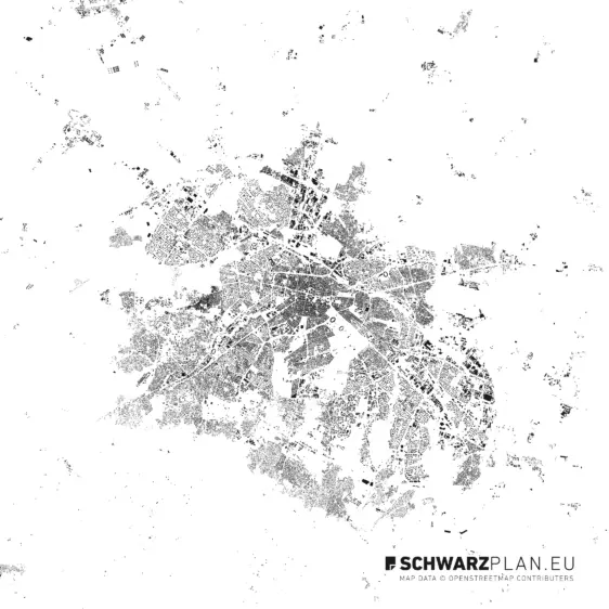
Sofia Free

Sofia

Free DWG · Layers · PDF
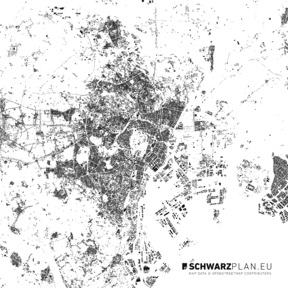
Tokyo Free

Tokyo

Free DWG · Layers · PDF
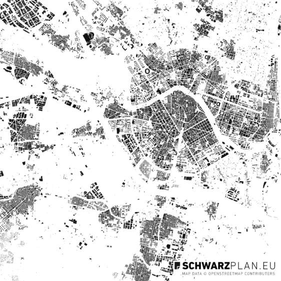
Valencia Free

Valencia

Free PDF · DWG · DXF · Layers
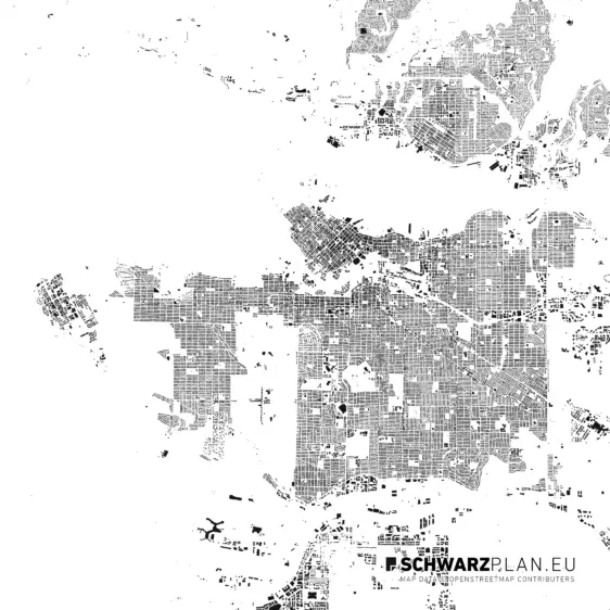
Vancouver Free

Canada

Vancouver

Free DXF · Layers · PDF
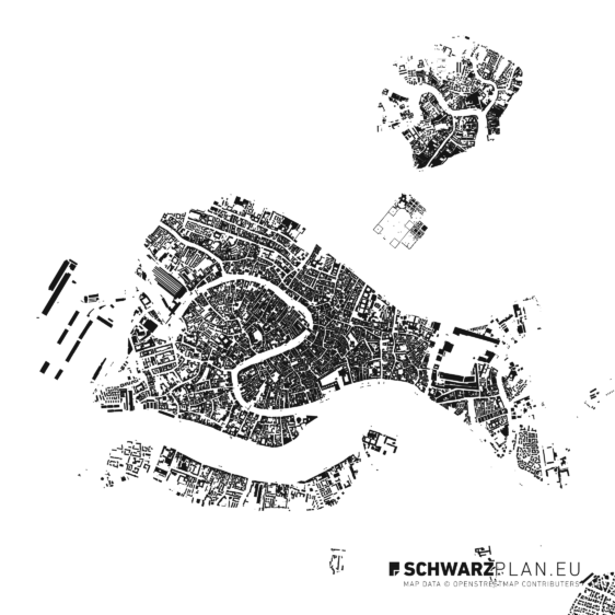
Venice Free

Venice

Free DWG · Layers · PDF
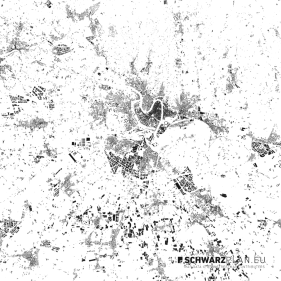
Verona Free

Verona

Free PDF · Layers
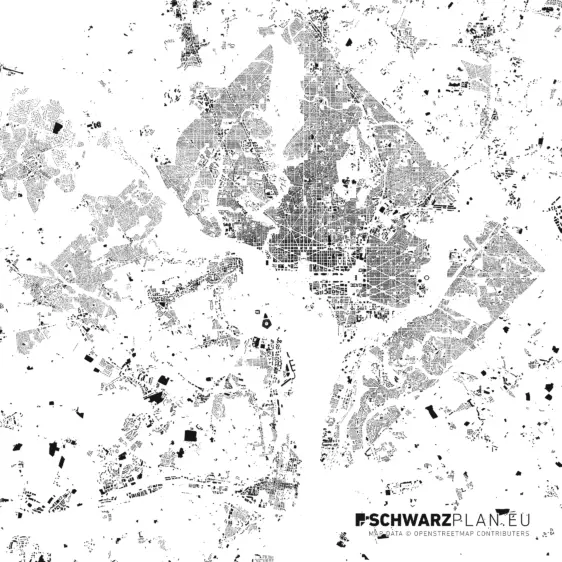
Washington D.C. Free

Washington D.C.

Free Layers · PDF
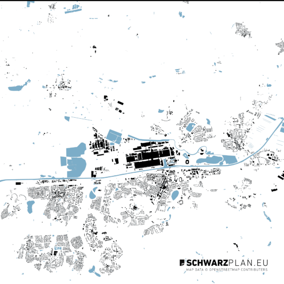
Wolfsburg Free

Wolfsburg

Free DWG · Layers · PDF
Zagreb Free

Zagreb

Free DWG · Layers · PDF

Filter by country or continent →

How it works

How you get the files

  1. 01

    Enter your email

    In the field above or via the download icon on any card. We need nothing beyond the address.

  2. 02

    Click the confirmation link

    The email arrives right away. The click unlocks everything and brings you a personal 10% code for your first purchase.

  3. 03

    Download

    Every card now shows its download buttons — PDF, DWG, DXF, as often as you like. The unlock stays in this browser.

Continue

Your city is not included?

Questions

What you should know about the free plans

What do the free plans really cost?
Nothing. No account, no payment details, no subscription. You enter your email address once and can then download every plan on this page, as often as you like.
Which formats do the plans come in?
As vector PDF, DWG and DXF. You open the vector files in AutoCAD, Vectorworks, ArchiCAD, Rhino, QGIS, Illustrator and Affinity Designer and edit every layer on its own — buildings, streets, water and greenery are kept separate.
May I use the free plans in a competition or a thesis?
Yes — that is what they are for: competition entries, term papers, bachelor's, master's and doctoral theses, portfolios, your own designs, internal presentations. Permanently, with no follow-up licence. Paid commissions are not covered: the moment a plan goes into a project you are paid a fee for, you need the same plan from the shop — there the full architecture licence is included in the price. The same applies to print publication and publishing on the web; the extended licence covers those. Full licence terms.
Do I have to credit the source?
If you publish a plan, yes: Map data © OpenStreetMap contributors (ODbL). The plan files themselves may not be passed on as a data offering of their own — that is required by the Open Database License the data comes from. Whatever you draw from them is not affected.
What is the difference between a figure-ground plan and a site plan?
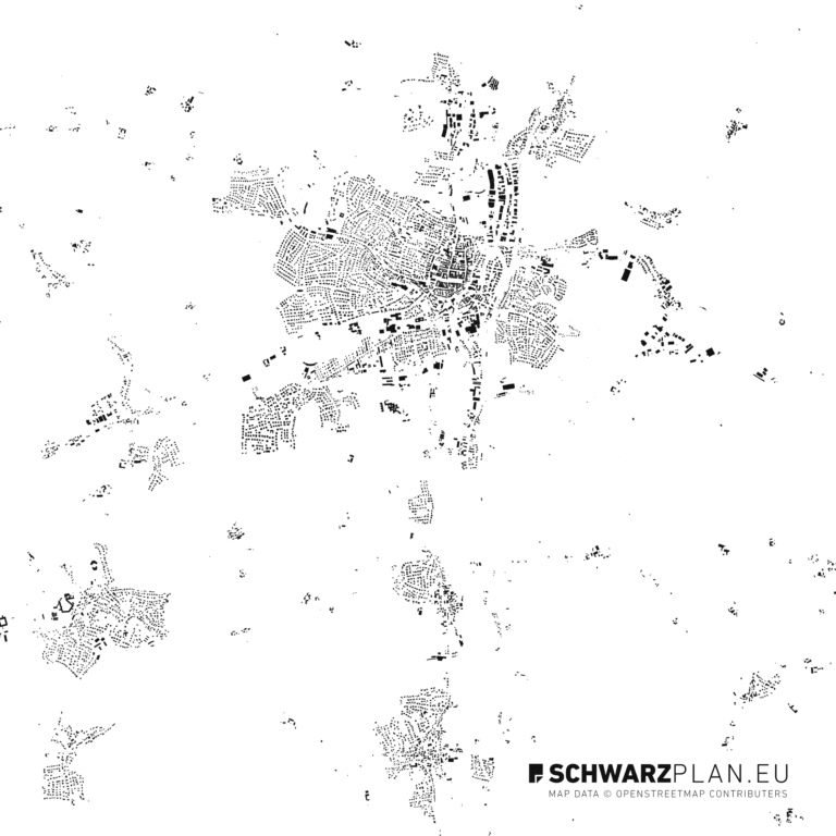
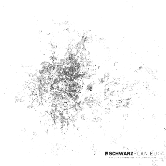
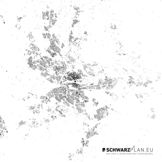
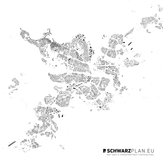
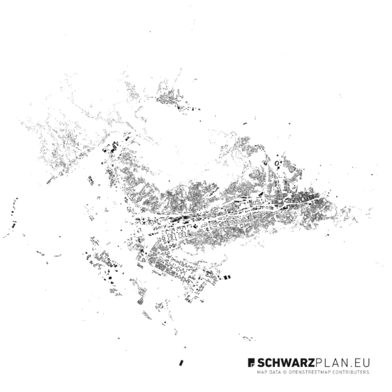
A figure-ground plan shows only the building footprints as black shapes on white — the figure-ground reading of a city. A site plan additionally shows streets, water, greenery and plot boundaries. Every plan on this page holds both readings, because the layers are separate and you can switch off whatever you do not need.
My city is not included — what now?
The shop holds plans for well over 250 cities worldwide, from 10 €. See all plans — or write to us if your city is missing; we also create plans on request.
Which scale, which extent?
Every plan covers a section of the city centre and is built to scale, usually 1:5000 to 1:20000 depending on the size of the city. Because it is vector data, you scale it without loss to whatever format your layout needs.
License

What you may do with the free plans

Competition entries, term papers and theses, portfolios, your own designs, internal presentations — permanently and across as many of your own works as you like. Paid commissions are not covered; for those the same plan is in the shop, with the full architecture licence included in the price. Passing the plan files on as a data offering of your own is not allowed either — that is required by the Open Database License the geodata comes from. For print publication and publishing on the web there is the extended licence.

All licence terms →

Attribution when publishing

Map data © OpenStreetMap contributors (ODbL)

?