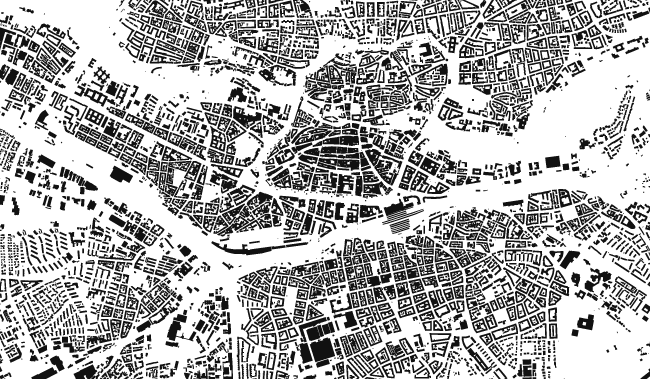
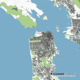
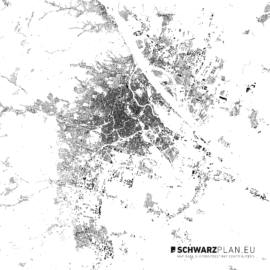
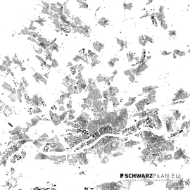
Details on the Figure Ground Plan & Site Plan of Bruges for download as PDF, DWG Plan, 1:100 000
You will get the Figure Ground Plan & Site Plan of Bruges as scalable drawing in different variations and file formats. The Figure Ground Plan & Site Plan of Bruges for download as PDF, DWG Plan, 1:100 000 can be edited and resized without any loss of quality. Tools of choice are Adobe Illustrator, Inkscape or Corel Draw, but at least every software that can handle pdf files can be used to work with the Figure Ground Plan & Site Plan of Bruges.
CAD Figure Ground Plan & Site Plan of Bruges
The CAD map (dwg, dxf) of the Figure Ground Plan & Site Plan of Bruges for download as PDF, DWG Plan, 1:100 000 can be imported into CAD programs like AutoCAD, Rhinoceros 3D and ArchiCAD. The arrangement of the elements on different site plan layers makes it easy to hide or edit several elements. Site plan content such as buildings and streets are drawn as polygon areas, roads and borders as lines.
Related Products
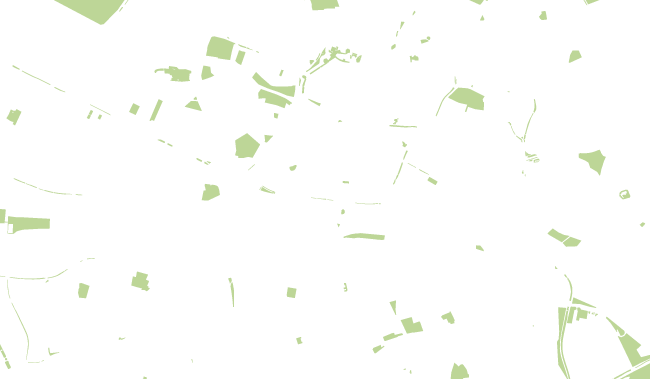
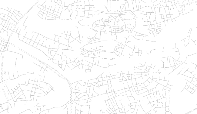
Layers, PDF Plan
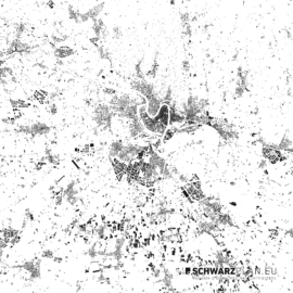
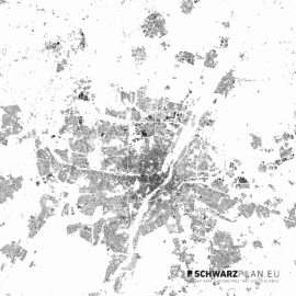
Site Plan & Figure Ground Plan of Saint Tropez, Sainte Maxime


 Original price was: 10,00 €.0,00 €Current price is: 0,00 €.
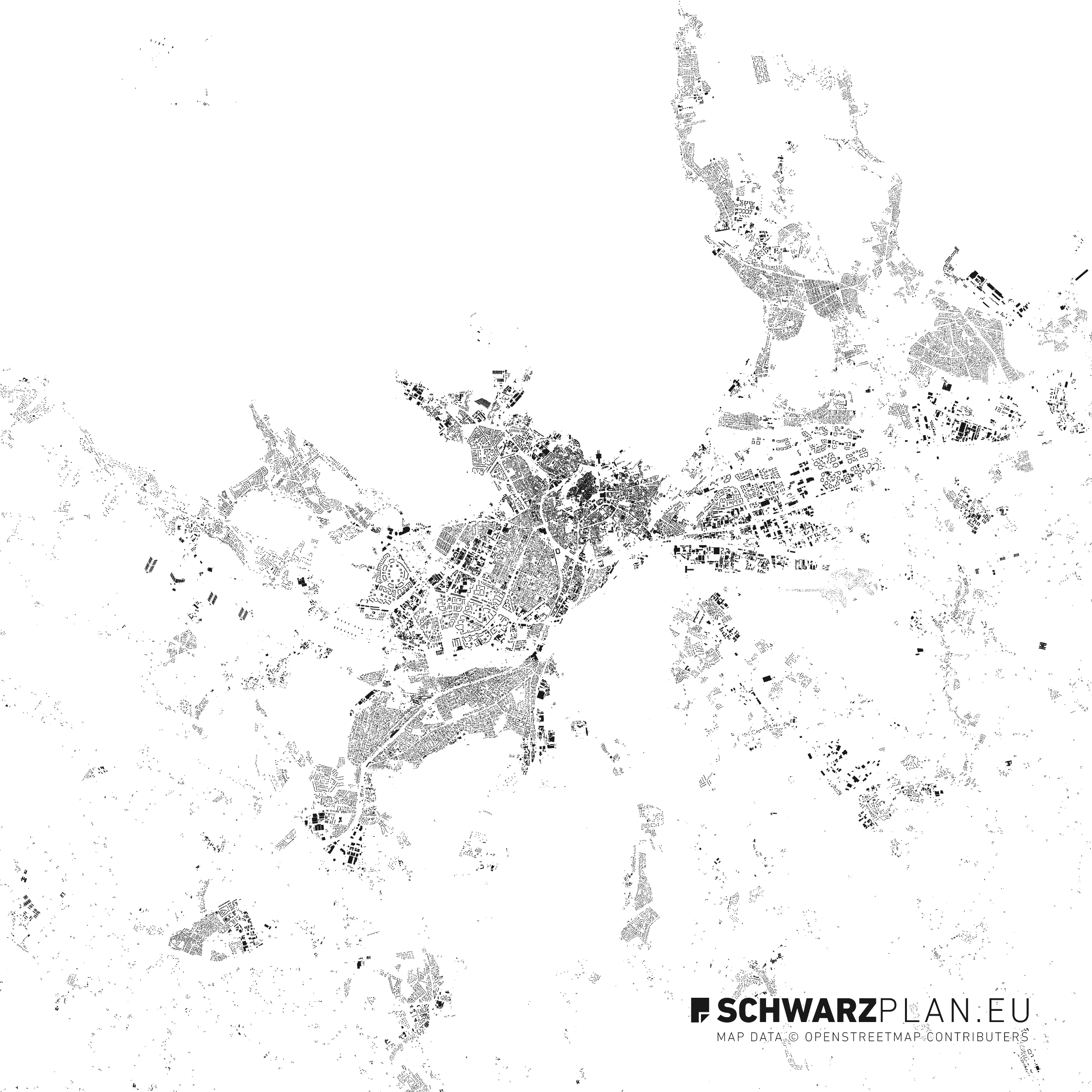

Reviews
There are no reviews yet.