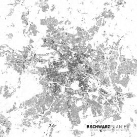
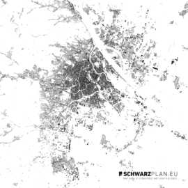
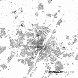
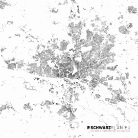
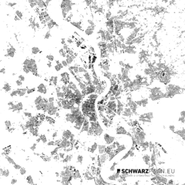
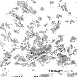
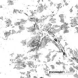
We’re happy to announce an additional feature for our siteplans and figure ground plans. From now on all new and updated plans contain elevation lines with 10 m steps. As the other elements the elevation data is located on a separate layer for maximum flexibility in editing.
The elevation data is also available in our CAD DXF siteplans as layered elements, so you’ll be able to build up an 3d Model with the printer or laser cutter.
If your plan is missing the elevation data feel free to write a short request for an update, so we’re going to create it quickly.
0 Comments
Leave a reply
You must be logged in to post a comment.


