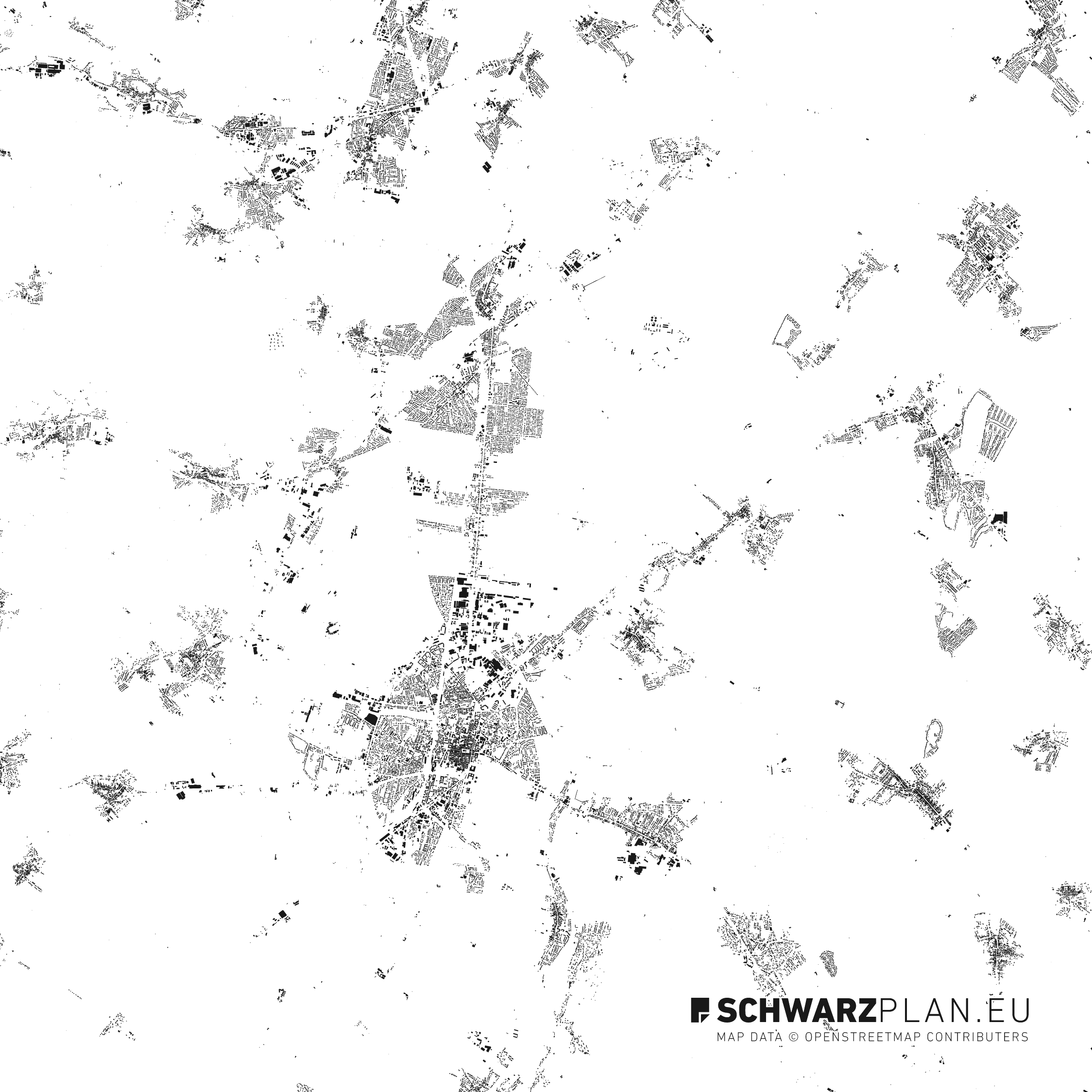
Figure-Ground Plan & Site Plan of Eisenstadt - Wiener Neustadt DWG · PDF
Choose license
License difference
- ✓ Personal & academic
- ✓ Architecture projects
- ✓ Internal visualisation
- + Print in books
- + Web publication
- + Editorial use
Compatible with popular CAD and design software
Export: DWG · DXF · PDF · SVG · AI · EPS
18 plan from Austria
- City
- Eisenstadt - Wiener Neustadt
- Scale
- 1:100 000
- Formats
- ZIP
- Layers
- Streets, Forest, Farmland, Railways, Elevation lines, Water +3
- Coordinates
- [47.8131, 16.3518] · WGS 84
- License
- Architecture License · included
Details & License ▾
Standard · included
Architecture License
- ✓ Personal & academic use
- ✓ Architecture projects (internal & for clients)
- ✓ Visualisations, presentations, competition entries
- — Print in books, reproduction, web publication
Commercial · +20,00 €
Extended License
- + Everything in Standard
- + Print in books, magazines, print publications
- + Web publication on public channels
- + Unlimited reproduction & redistribution in publications
Note. Most architecture, academic, and internal projects are covered by the Standard licence — no upcharge needed. The Commercial licence is only required when the plan is printed or published in a publicly distributed publication.
Copyright © SCHWARZPLAN.eu. Data aggregated from OpenStreetMap and public geodatabases. Attribution is recommended but not required.
View licence terms →Layers in the Eisenstadt - Wiener Neustadt site plan
Display of Streets in Eisenstadt - Wiener Neustadt
Display of Forest in Eisenstadt - Wiener Neustadt
Display of Farmland in Eisenstadt - Wiener Neustadt
Display of Railways in Eisenstadt - Wiener Neustadt
Display of Elevation lines in Eisenstadt - Wiener Neustadt
Display of Water in Eisenstadt - Wiener Neustadt
Display of Green in Eisenstadt - Wiener Neustadt
Display of Boundaries in Eisenstadt - Wiener Neustadt
Display of Buildings in Eisenstadt - Wiener Neustadt
The Eisenstadt - Wiener Neustadt site plan, layer by layer
Sample extract Salzburg · 1 km²
- Terrain L / 01
- Water L / 02
- Green spaces L / 03
- Streets L / 04
- Buildings L / 05
Geographic extent of Eisenstadt - Wiener Neustadt
Figure-Ground Plan & Site Plan of Eisenstadt - Wiener Neustadt
The black-and-white map of Eisenstadt - Wiener Neustadt depicts the built city as a pure figure-ground representation—precise building footprints rendered as polygons, organized on a separate layer.
The site plan expands on the Eisenstadt - Wiener Neustadt base map by adding a road network, waterways, green spaces, and topography—ready for use in architecture, urban planning, academic projects, and editorial cartography. Losslessly scalable and compatible with AutoCAD, Rhinoceros, ArchiCAD, and Adobe Illustrator.
Why Our Eisenstadt - Wiener Neustadt Plan
- Validated source data — each layer verified individually before release
- Instant download after purchase — PDF for presentations, DWG for CAD work
- Commercial license with no project limits or recurring costs
- Real-time updates and lossless scaling
All plans. One price.
One payment of 99 €, and you can download every plan in this shop under the architecture licence – for life. For practices with changing projects and students who design a lot. Extended (commercial) licence for all plans: +100 €.
Why SCHWARZPLAN.eu
Verified data
Every map is verified layer by layer prior to release. Source data comes from OSM and public geodatabases.
Available now
Download link available immediately after purchase. No waiting, no shipping.
Architecture License included
Architecture, urban-planning & academic projects plus internal visualization are covered. For print, web publication & editorial use, there's the Extended License.
14-day return policy
Not satisfied? Get your money back. German / English Support.
Related plans
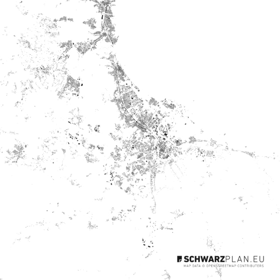
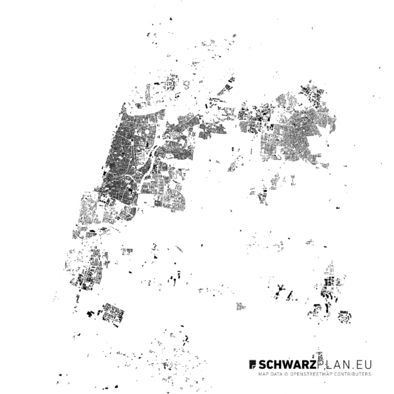
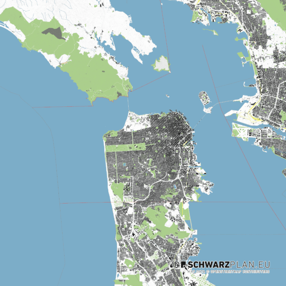
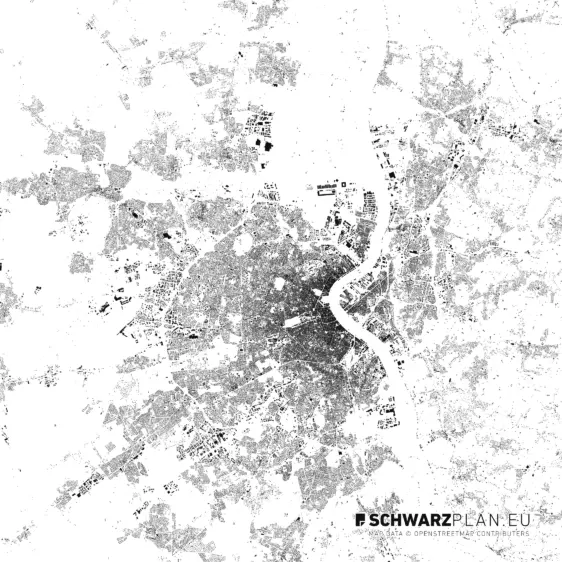
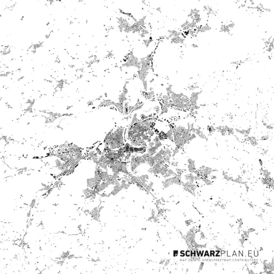
Figure-ground plans of other metropolises