
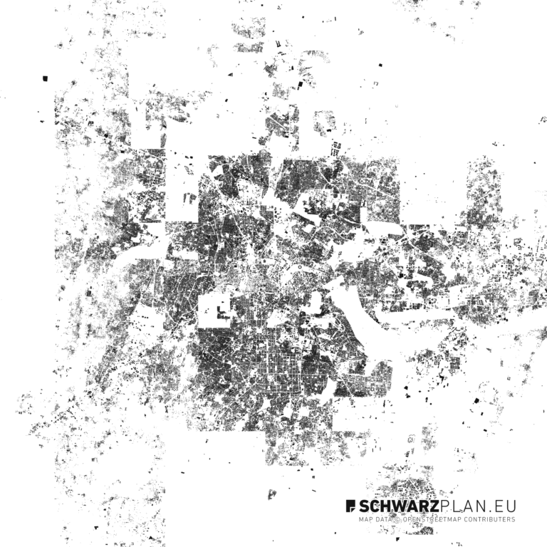
Site plan: types, scale and download
A site plan shows a plot and its surroundings from above, true to scale. Here you get one for 218 cities as a vector file with separate layers – PDF, DWG and DXF, immediately after purchase, with a commercial licence.
True to scale · separate layers
What it is good for
Which site plan do you need?
“Lageplan” denotes three different documents. Which one you need depends solely on the purpose – and we sell only one of them.
| Type | Who issues it | For what | Cost |
|---|---|---|---|
| Official Site Plan | Cadastral office / state survey | Legally binding evidence of boundaries and parcels | a low two-figure sum |
| Qualified Site Plan | Publicly appointed surveyor | Building application, submission drawing, scale 1:500 | several hundred euros |
| Design site plan our product | SCHWARZPLAN.eu | Design, competition, presentation, CAD base | €5–15, immediately |
In short: for a building application, a notary appointment or boundary questions there is no way around the cadastral office and a surveyor. For design, competitions, presentations and anything processed further in CAD, our plan is the faster and considerably cheaper basis.
Structure
Separate layers instead of one flat image
Every plan is a vector drawing. Buildings, streets, green, water and rail sit on their own layers and can be shown, hidden, recoloured or drawn over individually. The scale stays changeable without loss – precisely what a screenshot of an online map cannot do.
- Buildings
- Streets & paths
- Green spaces
- Water
- Rail
- Plot boundaries
Formats
Site plan as PDF, DWG and DXF
| Format | What it is | For what |
|---|---|---|
| Vector PDF | Printing, sharing, layout (InDesign, Illustrator) | |
| DWG | AutoCAD drawing | AutoCAD, ArchiCAD, Revit |
| DXF | Open CAD interchange | Rhino, Vectorworks, QGIS, Blender, SketchUp |
| PNG | Pixel image, high resolution | Quick look, moodboard, web |
All formats contain the same layers and the same extent. You choose what you need at checkout – or take the lot.
More on the vector PDF →Guide
Create a site plan – in six steps
A design site plan you can draw yourself. That ends at the qualified site plan for a building application: only a publicly appointed surveyor may issue one. The steps below apply to everything short of that.
-
01
Clarify the purpose – everything follows from it
For a building application you need a qualified site plan, and only a publicly appointed surveyor may produce one. For a design, a competition, a presentation or a feasibility study you may draw it yourself. This question comes first because the answer determines everything else.
-
02
Obtain the plot geometry
The plot boundaries come from the land register (Liegenschaftskataster). To look up the cadastral district, field and parcel number our cadastral map is enough; an official extract with legal effect is issued by the cadastral office.
-
03
Get the surroundings as a vector base
Either export the neighbourhood's buildings, streets, green and water from OpenStreetMap yourself and prepare them in QGIS – free, but with a learning curve – or download a ready-made vector plan with separate layers and start drawing straight away.
-
04
Set the scale and the extent
1:500 is usual for the project-related site plan, 1:1000 to 1:2500 for the context plan. The extent shows the plot plus enough surroundings that access and neighbouring development can be read.
-
05
Build the layers and draw
Boundaries, existing fabric, proposal, access and open space each belong on their own layer. Start with separate layers and you can show variants later without redrawing; put everything on one layer and you will draw it twice.
-
06
Label and export
North arrow, scale bar, legend, date and the attribution for the map data. Export as vector PDF for sharing and as DWG or DXF if someone else will work on it.
Catalogue
Site plans for 218 cities
Every plan listed has separate layers. Filter by continent or search for the city directly – the red dot marks the free ones.
FAQ