
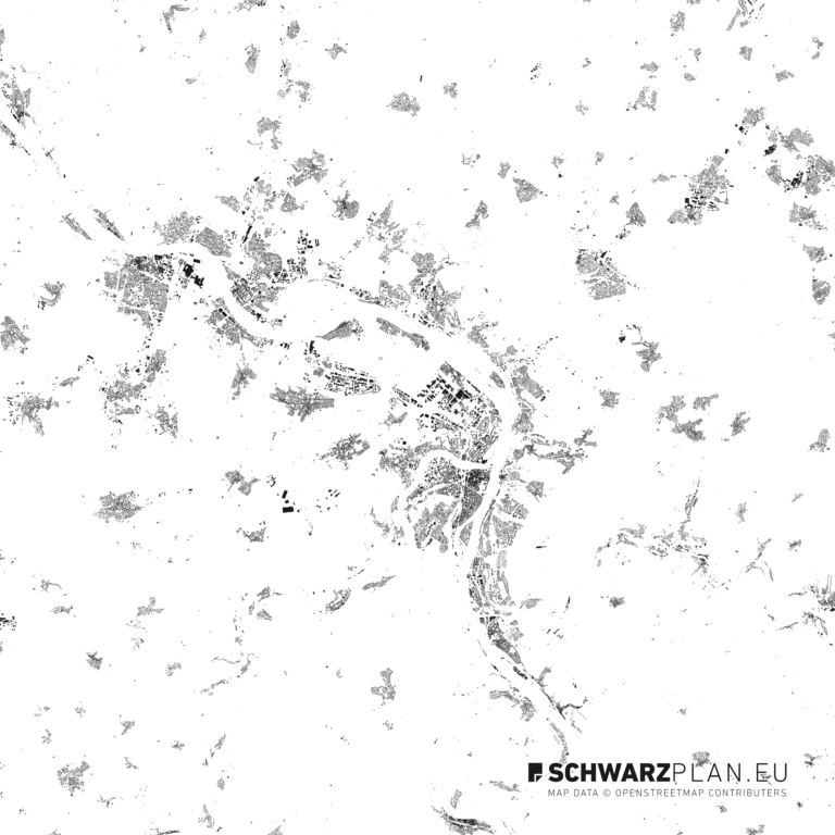
Site Plans & Figure-Ground Plans
234 plans from official geodata, each reviewed by hand. As PDF, DXF, DWG and PNG — instant download, editable, commercial licence.
Total
234
Formats
PDF · DXF · DWG · PNG
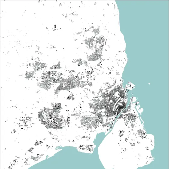
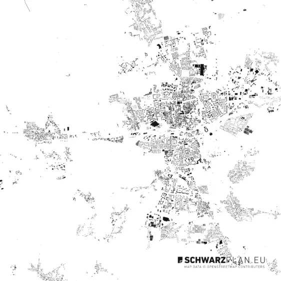
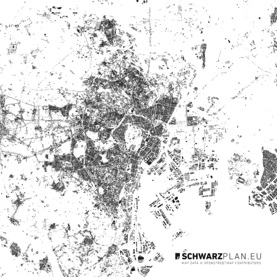
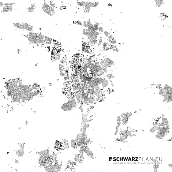
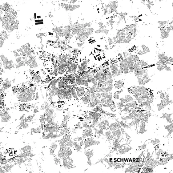
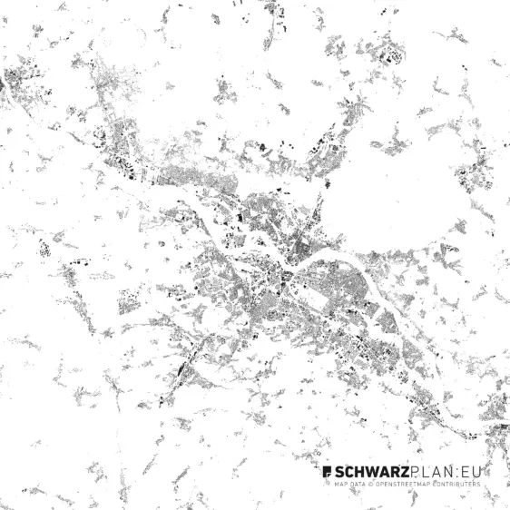
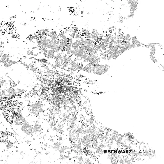
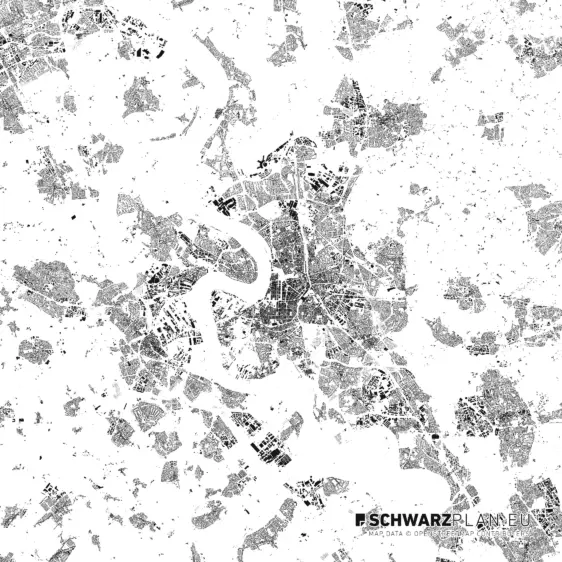
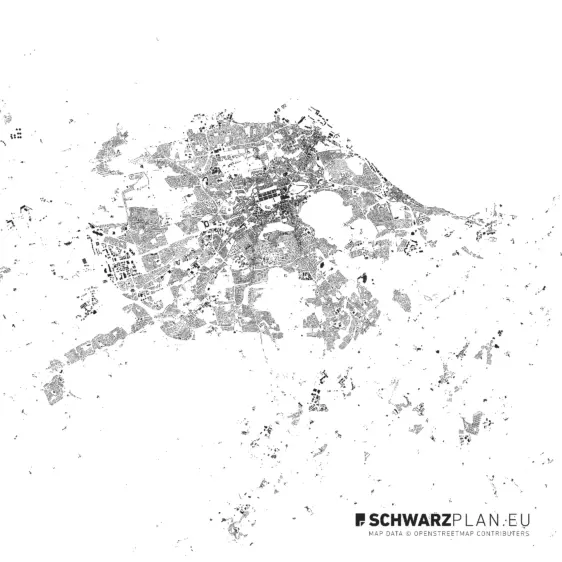
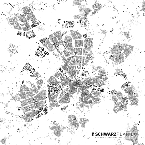
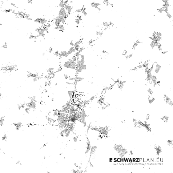
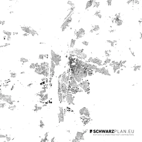
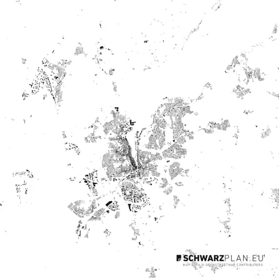
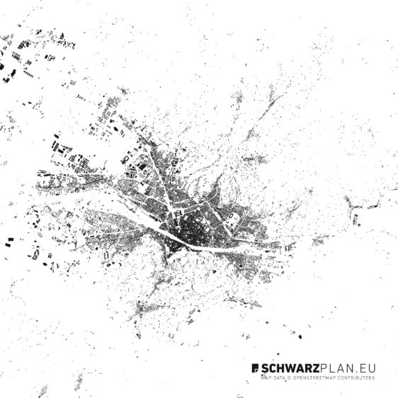
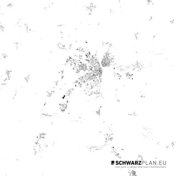
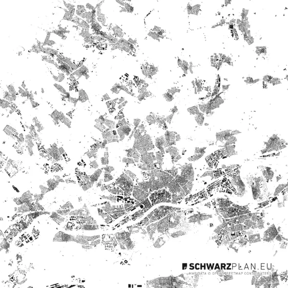
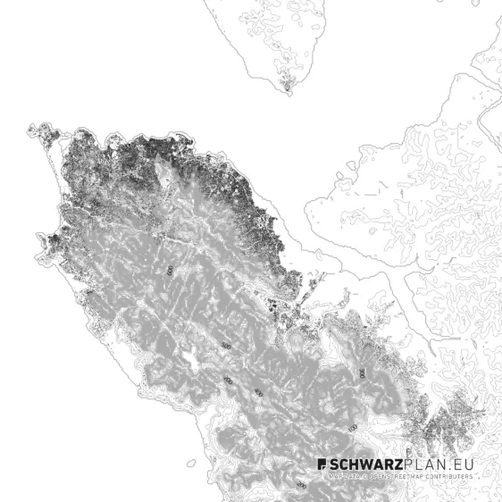
Site plans & figure-ground plans · Download
Site plans (Lageplan) for architecture and urban planning
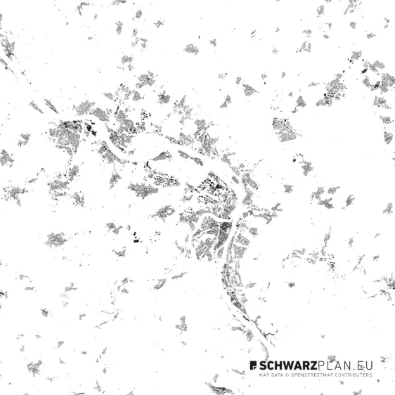
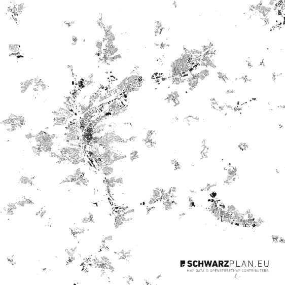
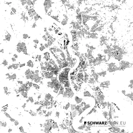
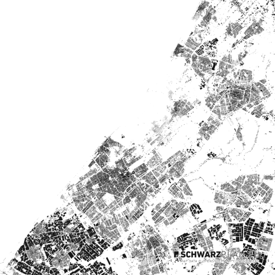
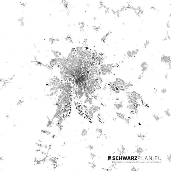
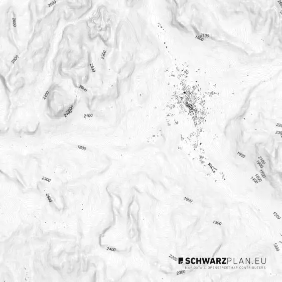
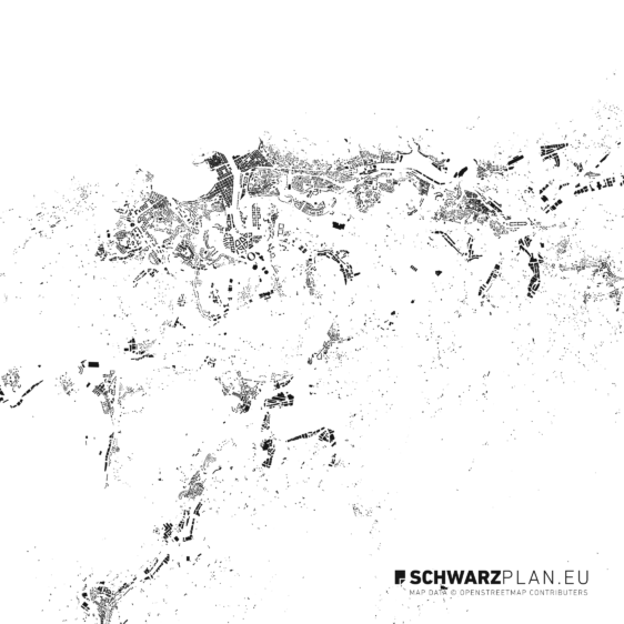
A site plan (German "Lageplan") shows a city or district to scale with streets, plot boundaries and the footprint of every building — unlike a figure-ground plan (Schwarzplan), which reduces the same area to a black-and-white solid-void diagram of the built fabric. Every plan here is available as an instant download in PDF, DWG and DXF at a 1:5,000 scale, ready to drop into your CAD or layout software. Use them for architecture and competition boards, urban-planning and density analysis, university and thesis projects, and professional presentations. Browse the full collection of site plans and figure-ground plans for cities across Europe and worldwide below.
What is a site plan (Lageplan)?
A site plan (Lageplan) is a scaled, geo-referenced drawing of an area showing streets, plot boundaries and building footprints. It is the contextual base drawing for any architecture or urban-planning project — distinct from a figure-ground plan (Schwarzplan), which abstracts the built mass into a black-and-white diagram.
Formats, scale and use cases
All plans are delivered as instant downloads in PDF, DWG and DXF at a 1:5,000 scale — high-resolution and ready for CAD, GIS or print. Typical uses are architecture and competition boards, urban-planning and density studies, teaching and thesis work, and client presentations.
Why buy here
- Vector formats: PDF, DWG, DXF
- Instant download after purchase
- Consistent 1:5,000 scale, print-ready quality
- Custom extents on request
Browse all site plans and figure-ground plans for cities across Europe and worldwide.