
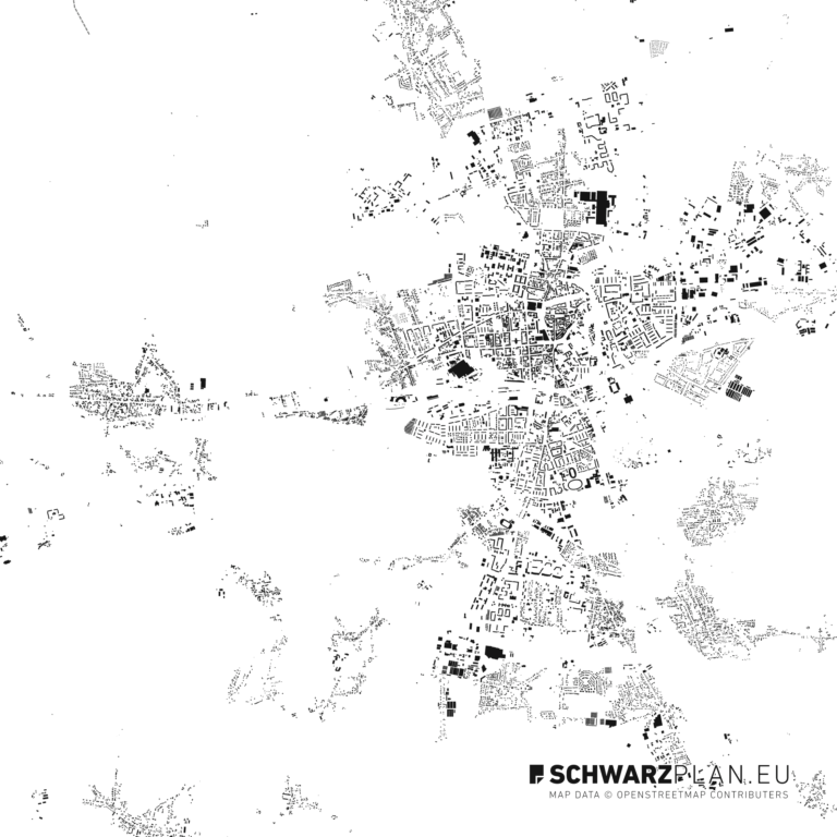
Cadastral map of Bensheim
Enter an address in Bensheim and view the boundaries for free – all dimensions of your plot as a PDF for €9.00.
The parcel sheet is a print-ready PDF at a standard scale (1:250 to 1:2500, A4 to A2), with boundary lengths and area, as an instant download. Select a parcel ↓
No match — try a city and street name.
Drag to move · handle rotates
Section A–A
Non-binding orientation — not an official cadastral extract
Data sources & licences Data sources in this map extent +
Base map: © OpenStreetMap contributors, © OpenFreeMap
Matching your plot in Matching your plot

Hessen
Cadastral parcels in the Bensheim map extent
- Cadastral parcels
- 826,186
- Cadastral districts
- 325
- Cadastral sectors
- 3,328
- Median size
- 617 m²
- Average size
- 3,101 m²
Calculated across roughly 2,461 km² of map extent from the official German cadastre (Liegenschaftskataster). The figures refer to the extent shown, not to the city's administrative area. As of 2026-08-14.
How a parcel identifier (Flurstückskennzeichen) is built
Example from Bensheim: 060011001000010001. The first two digits identify the federal state, followed by the cadastral district (Gemarkung), the cadastral sector (Flur) and the parcel numerator.
All cadastral maps in Hessen · Get the official extract from Geoportal Hessen.
More cities in Hessen: Darmstadt, Frankfurt am Main, Fulda, Gelnhausen, Gießen, Hanau
From the shop
Plans for Bensheim
-
Europe
Bensheim10,00 €
incl. VAT
Terminology
Flurkarte, Liegenschaftskarte, Katasterplan — what is the difference?
None. It is the same map. Which name it carries depends on the federal state, the authority and how old the usage is. The only real distinction is between the map itself and the official document produced from it.
| Term | What it means | Where the term is official |
|---|---|---|
| Cadastral map | The official map of the German land register (Liegenschaftskataster), showing parcel boundaries, parcel numbers and buildings. | The current technical term nationwide, introduced with ALKIS. |
| Cadastral map | The same map. The older name, still in everyday use. | Still the official product name of the state survey authority in Bavaria (Digitale Flurkarte, DFK) and North Rhine-Westphalia (Amtliche Flurkarte NRW). |
| Katasterplan, Katasterkarte, Flurplan | Again, the same map. | Nowhere — colloquial, but widely used. |
| Katasterauszug, Auszug aus der Liegenschaftskarte | Not the map, but the official document derived from it — sealed, chargeable and legally binding. | Nationwide. Only the cadastral office issues it. |
| ALKIS | Not a map name but the system behind it. It merged the former cadastral map (ALK) and the cadastral register (ALB). | Nationwide, introduced in every federal state. |
For Bensheim the data is maintained by Geoportal Hessen. Whatever the map is called there changes nothing about its content — or about the fact that you can view it above without signing up.
What it is good for
When is the online map enough — and when do you need the official extract?
This map is enough
- Looking up a parcel number or cadastral district
- Estimating a plot's shape and its neighbouring boundaries
- Preparing for a purchase or an estate agent meeting
- A first assessment before dealing with the authorities
Official extract required
- Building applications and submission documents
- Notary appointments, purchase contracts, the land register
- Boundary disputes and surveying
- Anything requiring legally binding documentation
For Bensheim, official extracts are issued solely by Geoportal Hessen — the responsible body is the cadastral authority of your district or independent city. Depending on the format, fees are typically in the low double digits (euros).
In between: the parcel sheet
If you need the sheet but no certification: your parcel as a print-ready PDF at a standard scale of 1:250 to 1:2500, sheet size A4 to A2 at the same price, with north arrow, scale bar, title block and source note. €9.00, download right after payment.
Taking it further
Site plan of Bensheim for design work and building applications
The cadastral map shows you the plot in Bensheim. For design work, presentations and CAD you need its surroundings — to scale and on separate layers. That is exactly what our site plan delivers as PDF, DWG and DXF.
FAQ