
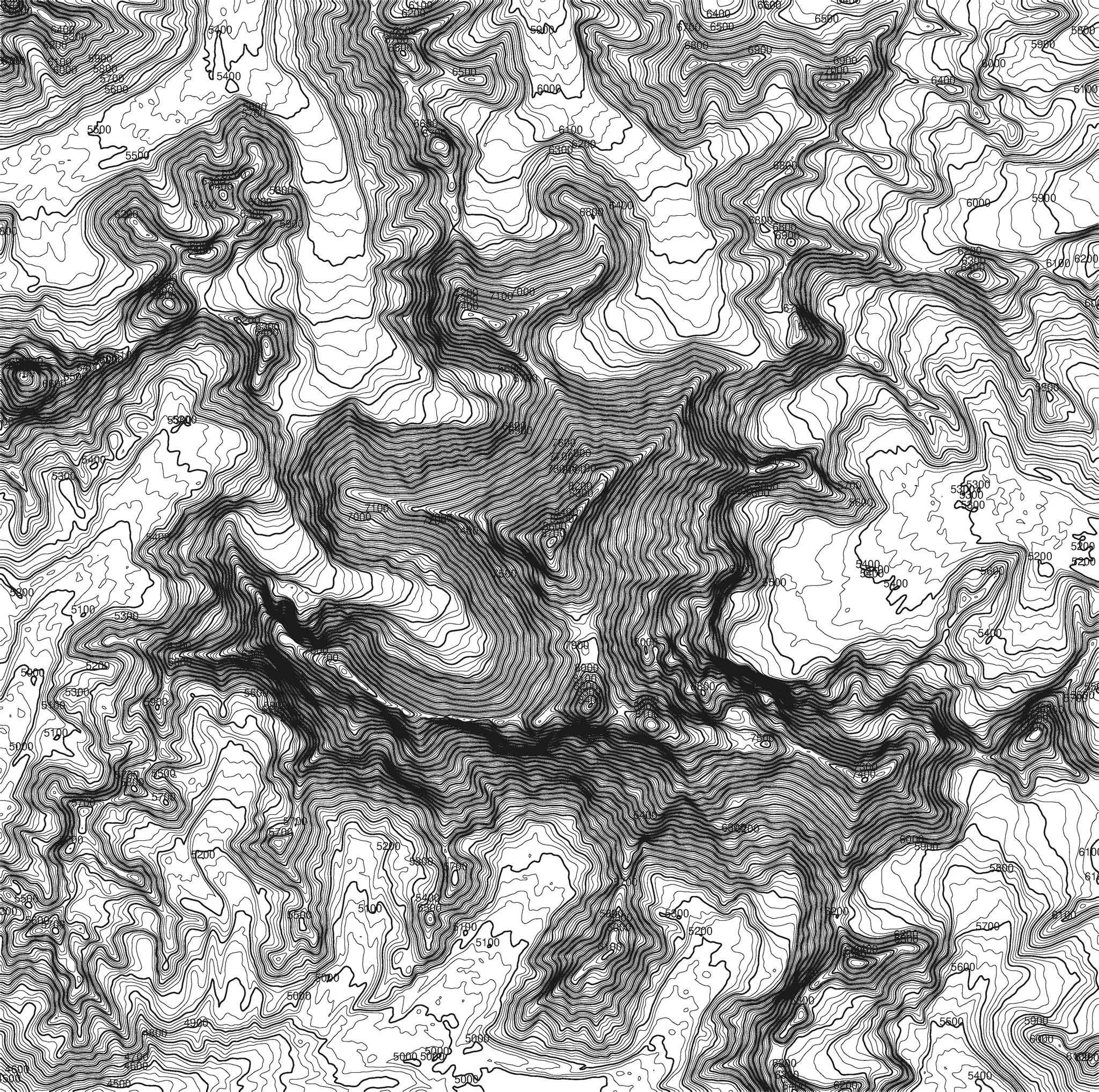

Mount Everest
8.849 M
Nepal / China
50 × 70 CMCANVAS
89 €
A2POSTER
39 €
Across the EU
4–6 Werktage · Sicherer Karton.
Search parcel boundaries and numbers — free, no sign-up.
22 regions covered
15 German states and seven countries on one map — no state portal shows more than its own territory.
Contour lines · Topography
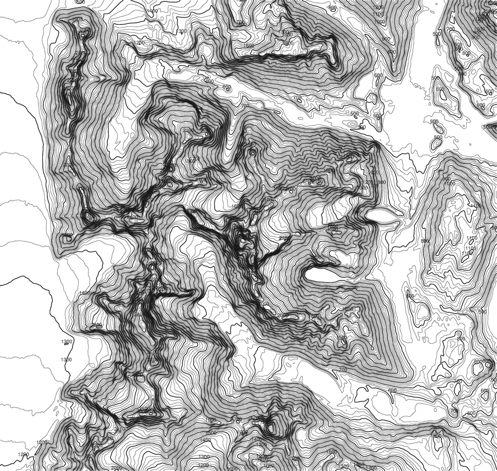
Reduced to pure topography: every peak as a topographic graphic of concentric contour lines. From Mount Everest to the Zugspitze — the relief of the earth, cartographically distilled.
Choose license
License difference
8.849 M
Nepal / China

6.961 M
Argentinien

6.190 M
USA (Alaska)

5.895 M
Tansania

5.642 M
Russland

4.892 M
Antarktis

4.884 M
Indonesien

8.611 M
Pakistan / China

4.808 M
Frankreich / Italien

4.478 M
Schweiz / Italien

3.967 M
Schweiz

3.798 M
Österreich

2.962 M
Germany

3.776 M
Japan

4.392 M
USA

2.549 M
USA

4.421 M
USA

4.302 M
USA

4.207 M
USA (Hawaii)

5.199 M
Kenia

3.724 M
Neuseeland

5.610 M
Iran

5.636 M
Mexiko

3.715 M
Spanien (Teneriffa)

2.917 M
Griechenland

1.345 M
Schottland (UK)

3.357 M
Italien (Sizilien)

8.091 M
Nepal

1.085 M
Südafrika

2.694 M
USA (Kalifornien)
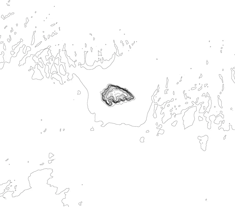
863 M
Australien
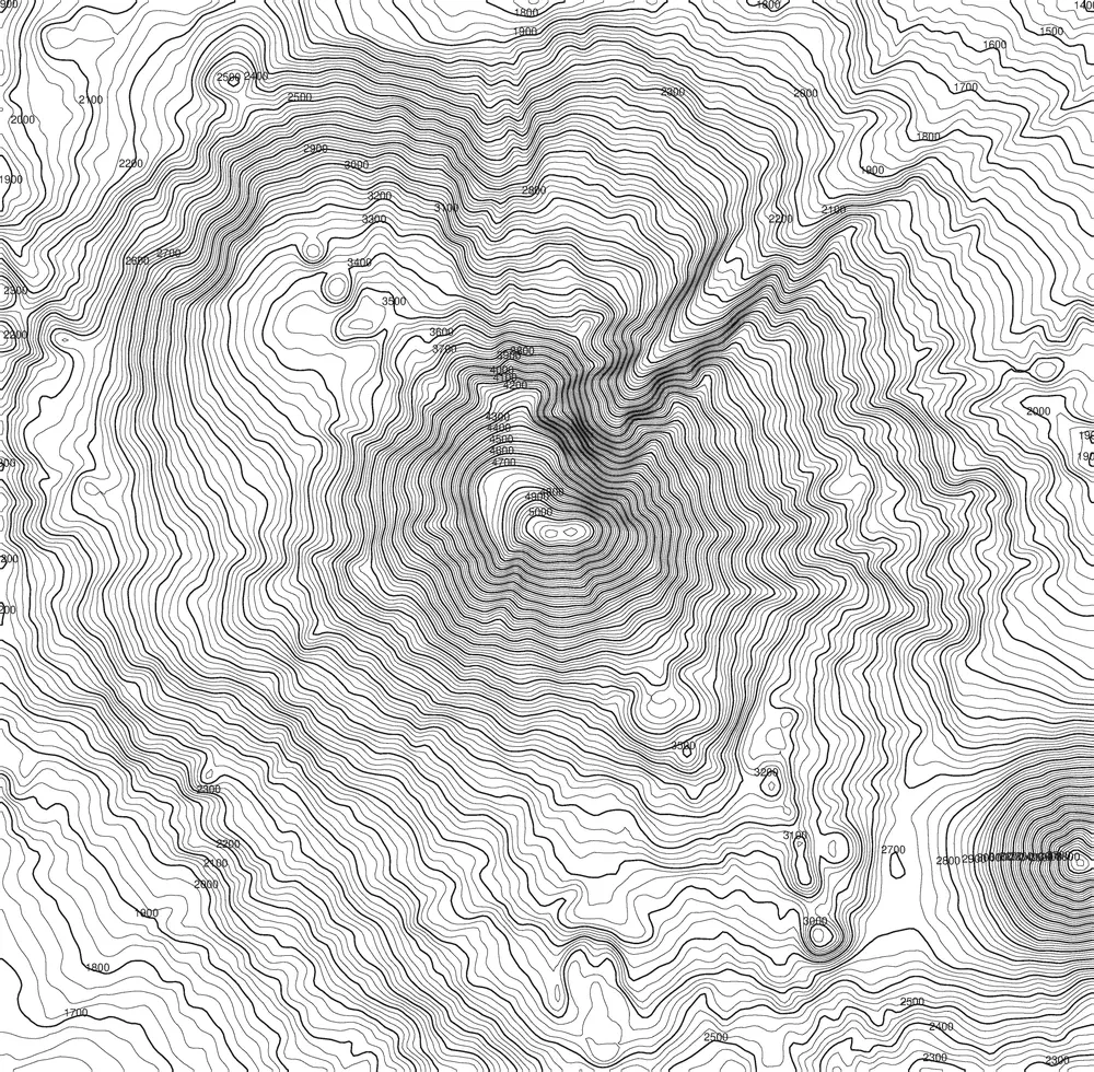
5.137 M
Türkei
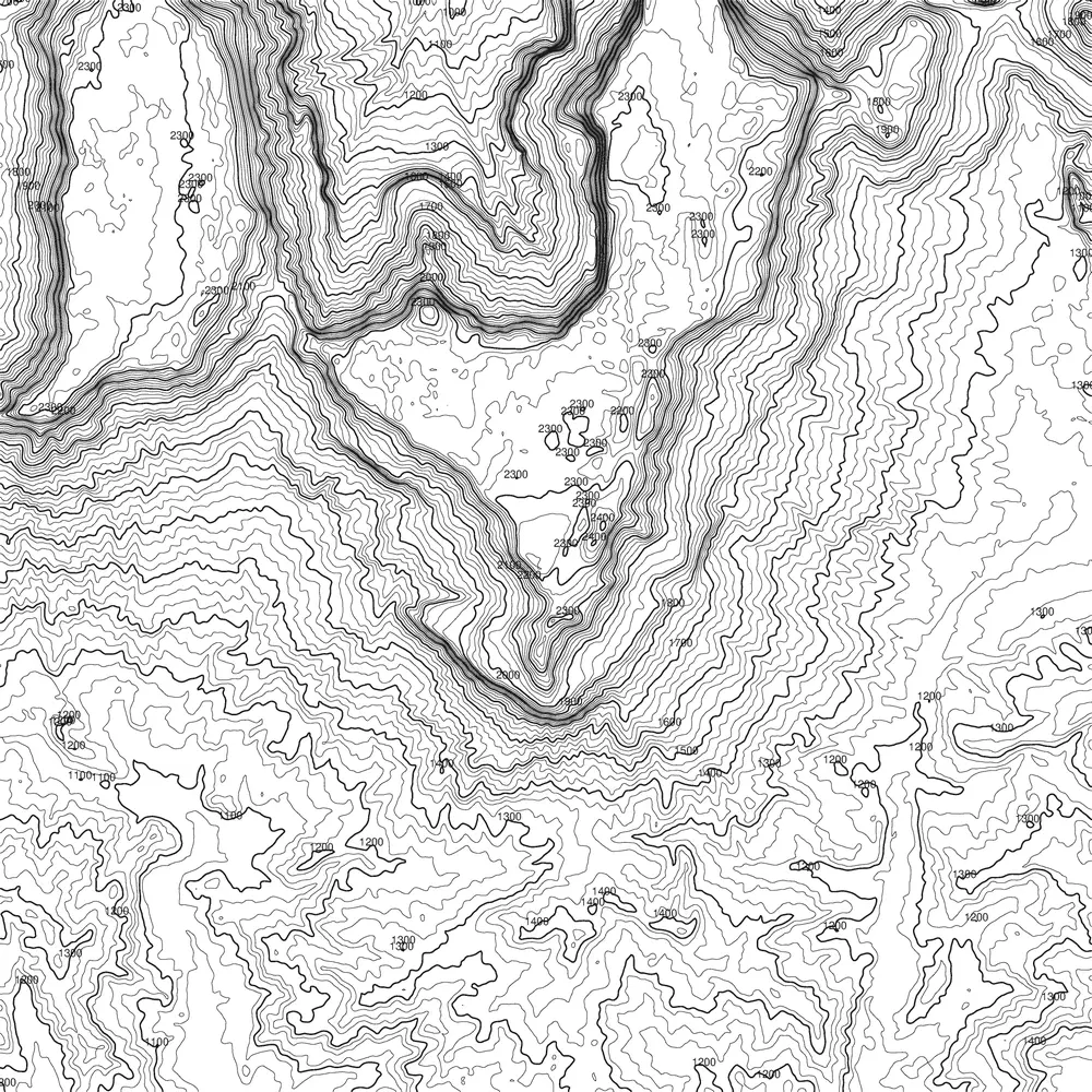
2.810 M
Venezuela / Brasilien / Guyana
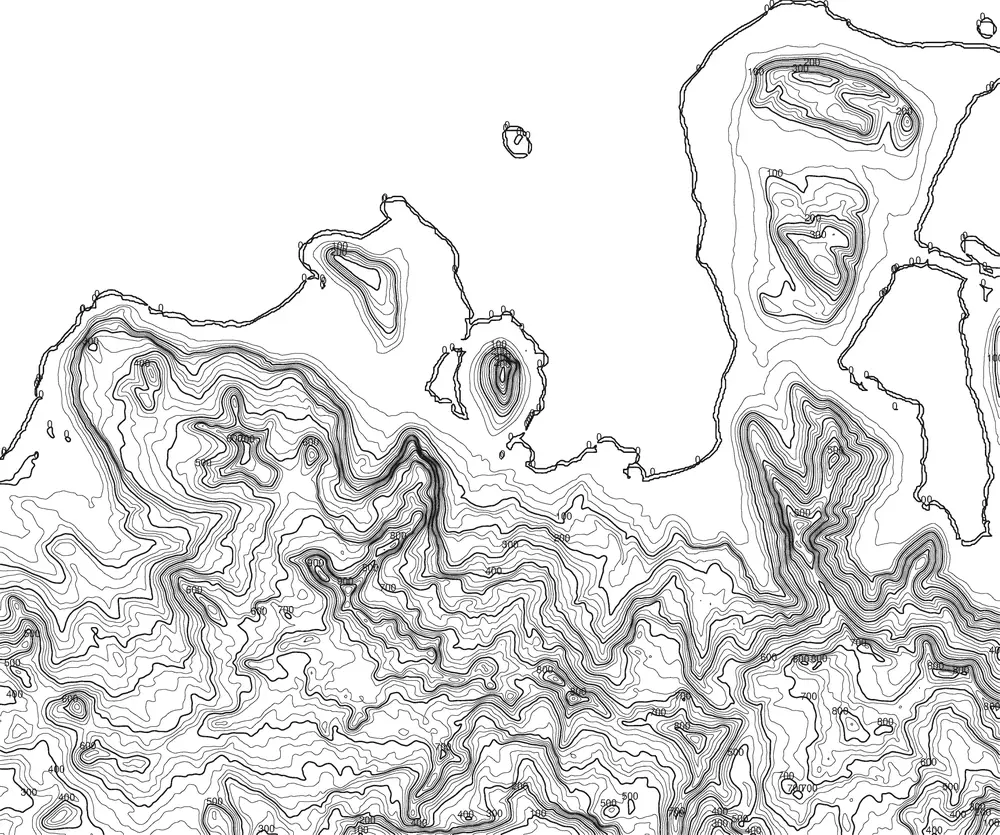
463 M
Island
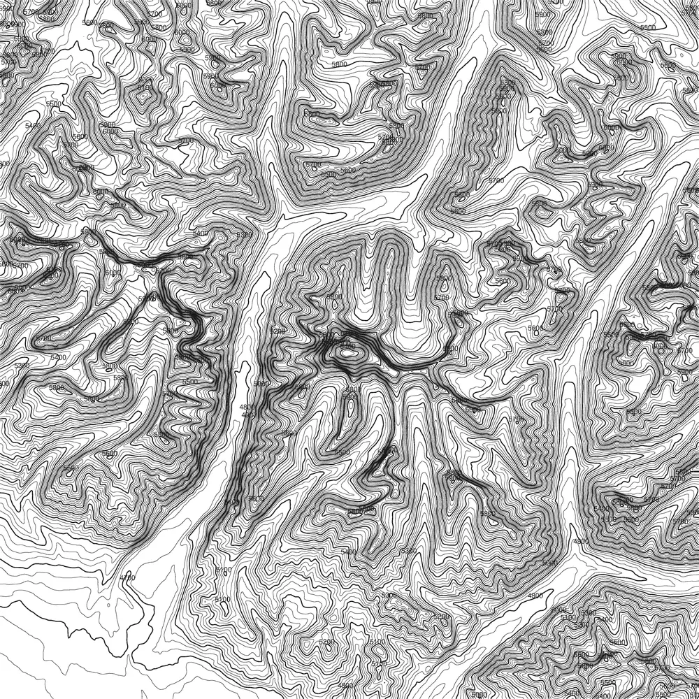
6.638 M
China (Tibet)
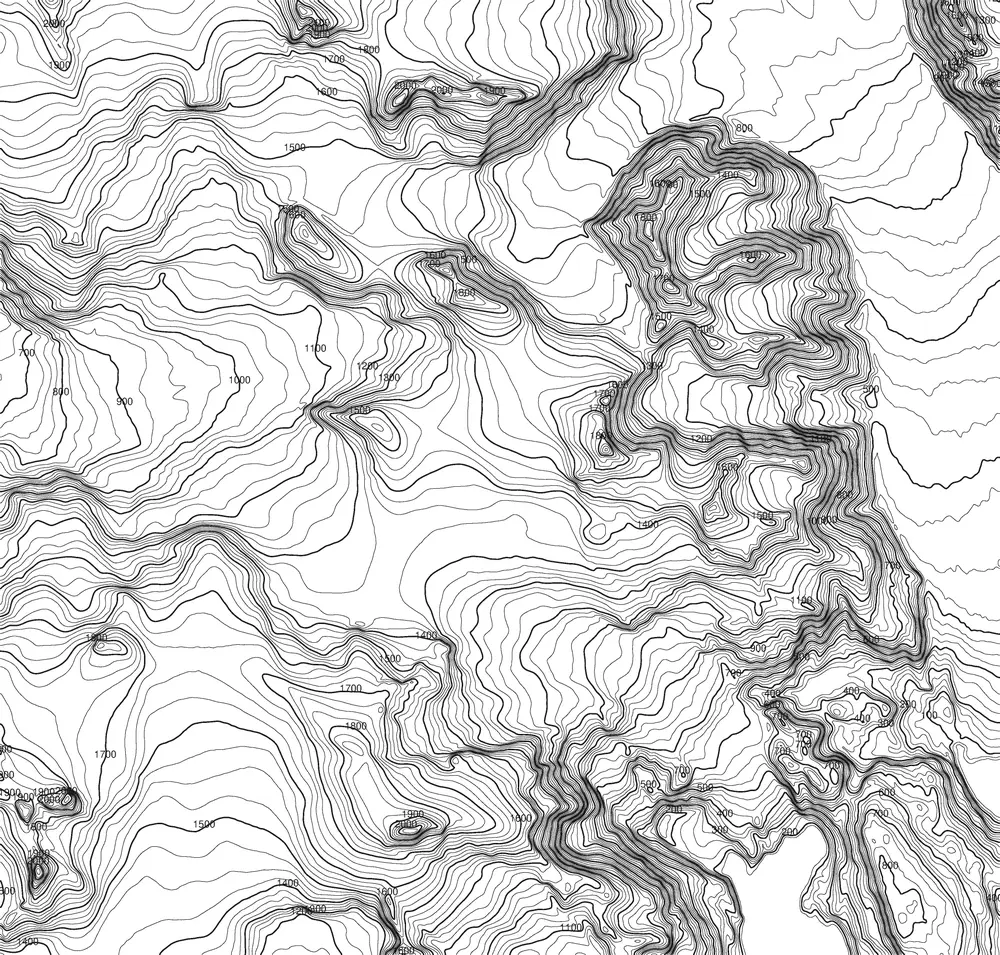
2.500 M
Chile
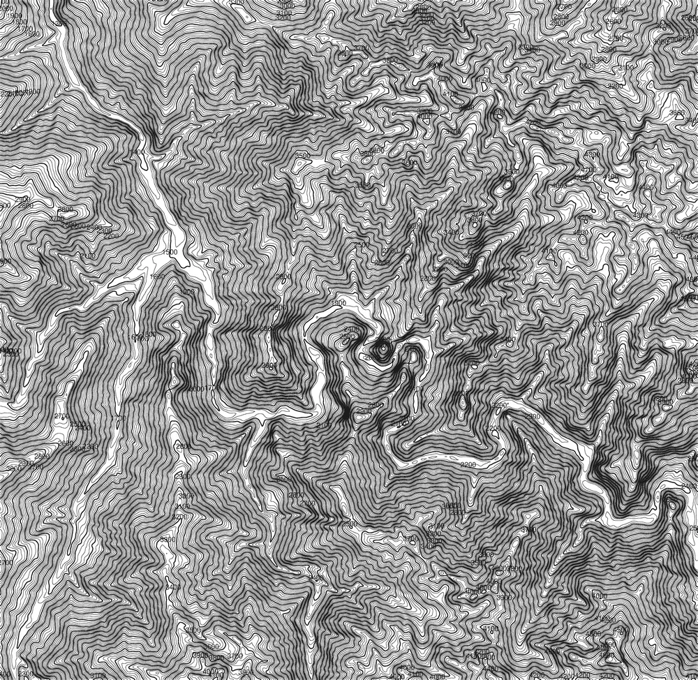
2.693 M
Peru
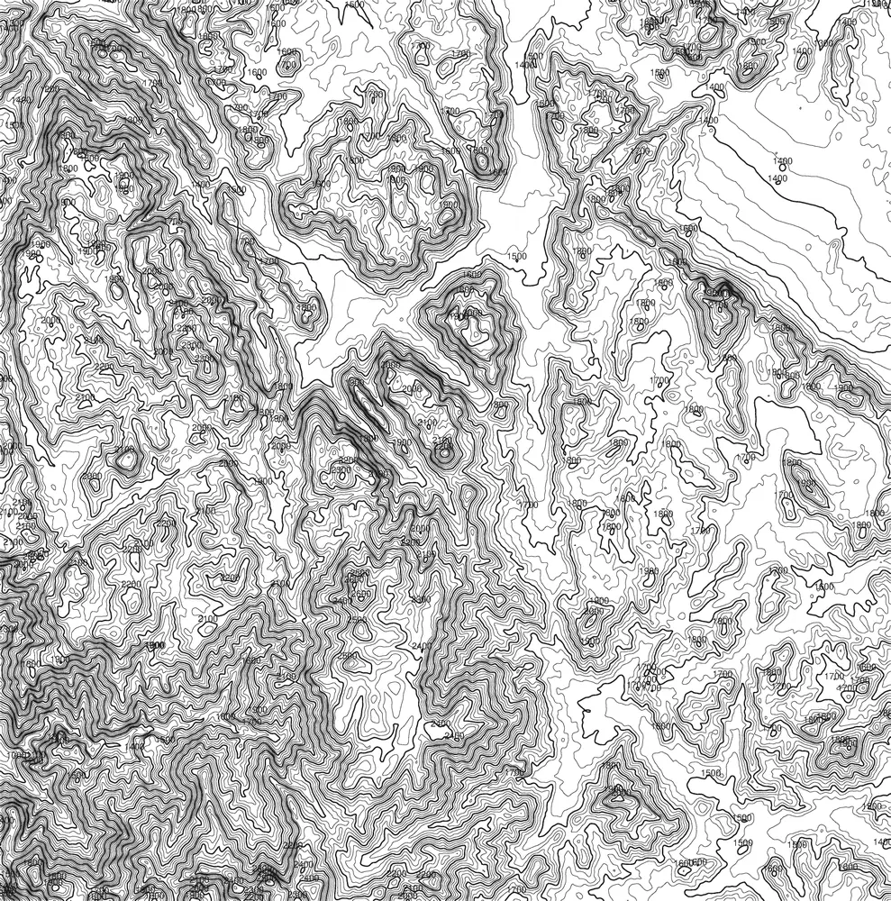
2.285 M
Ägypten
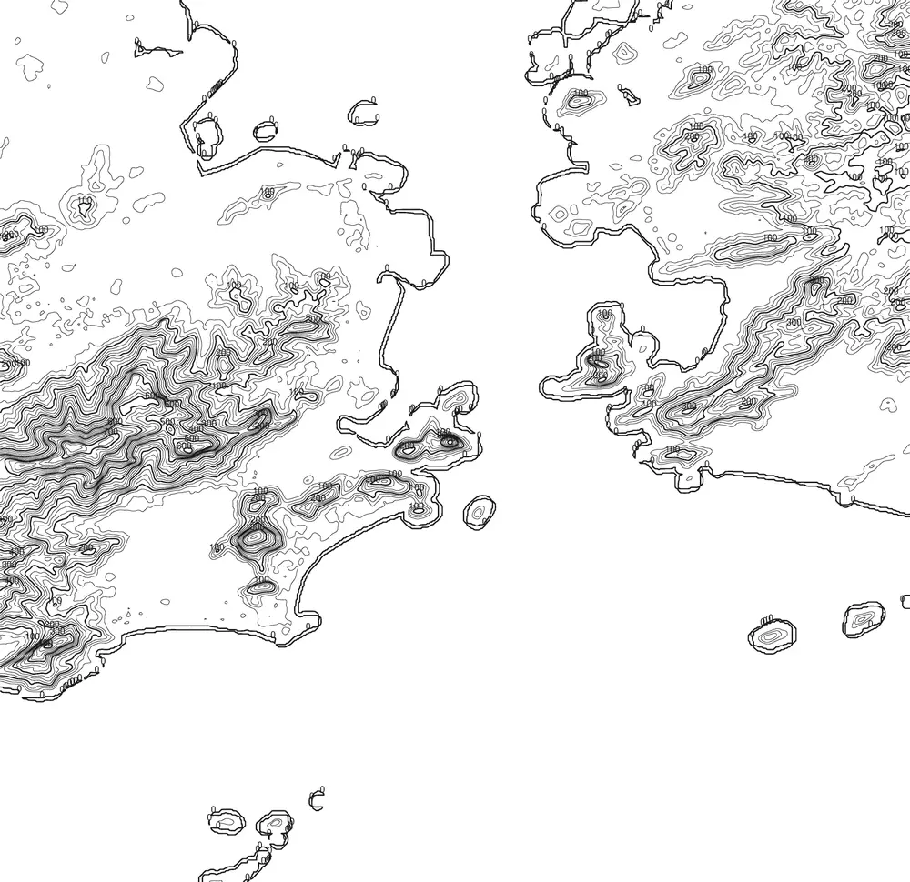
396 M
Brasilien
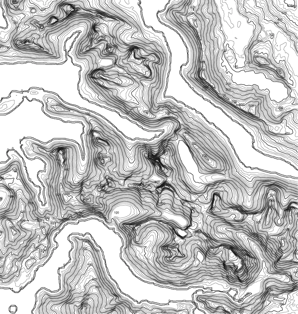
1.392 M
Norwegen
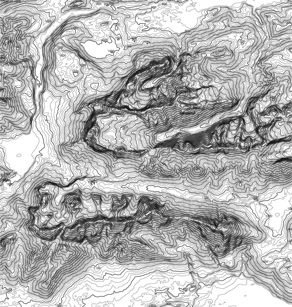
2.744 M
Germany
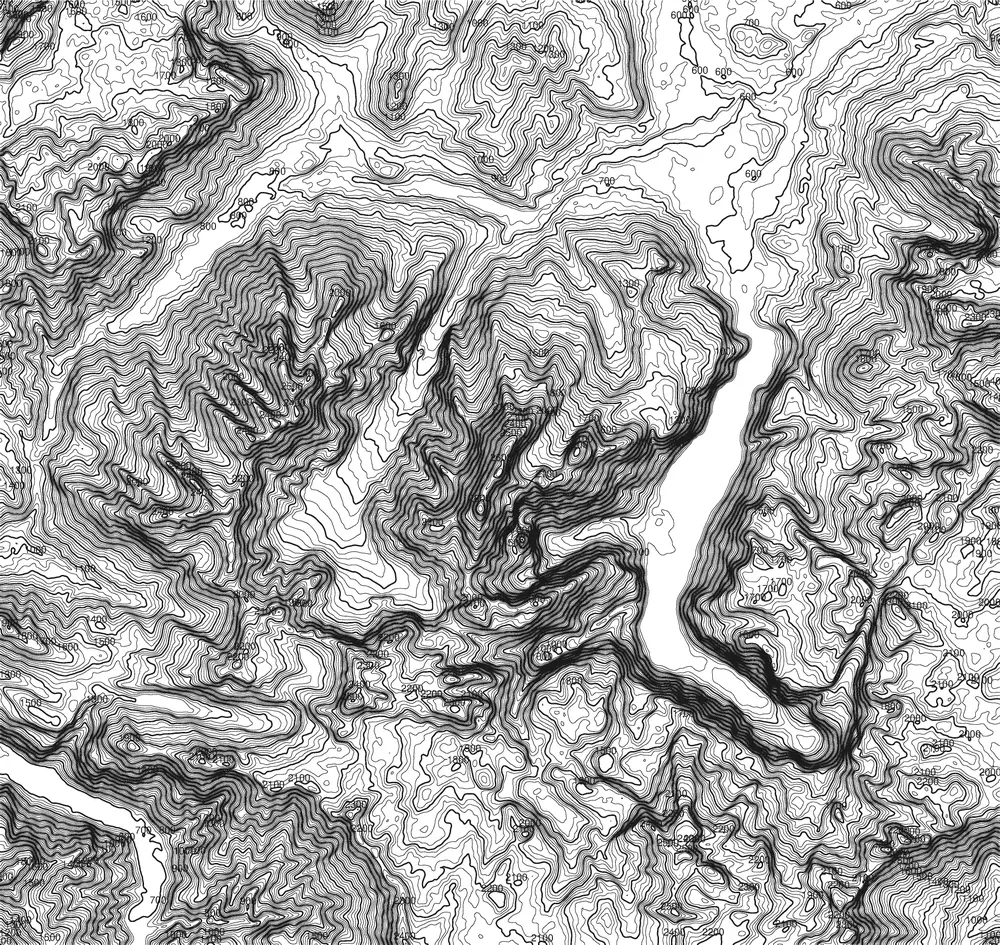
2.713 M
Germany
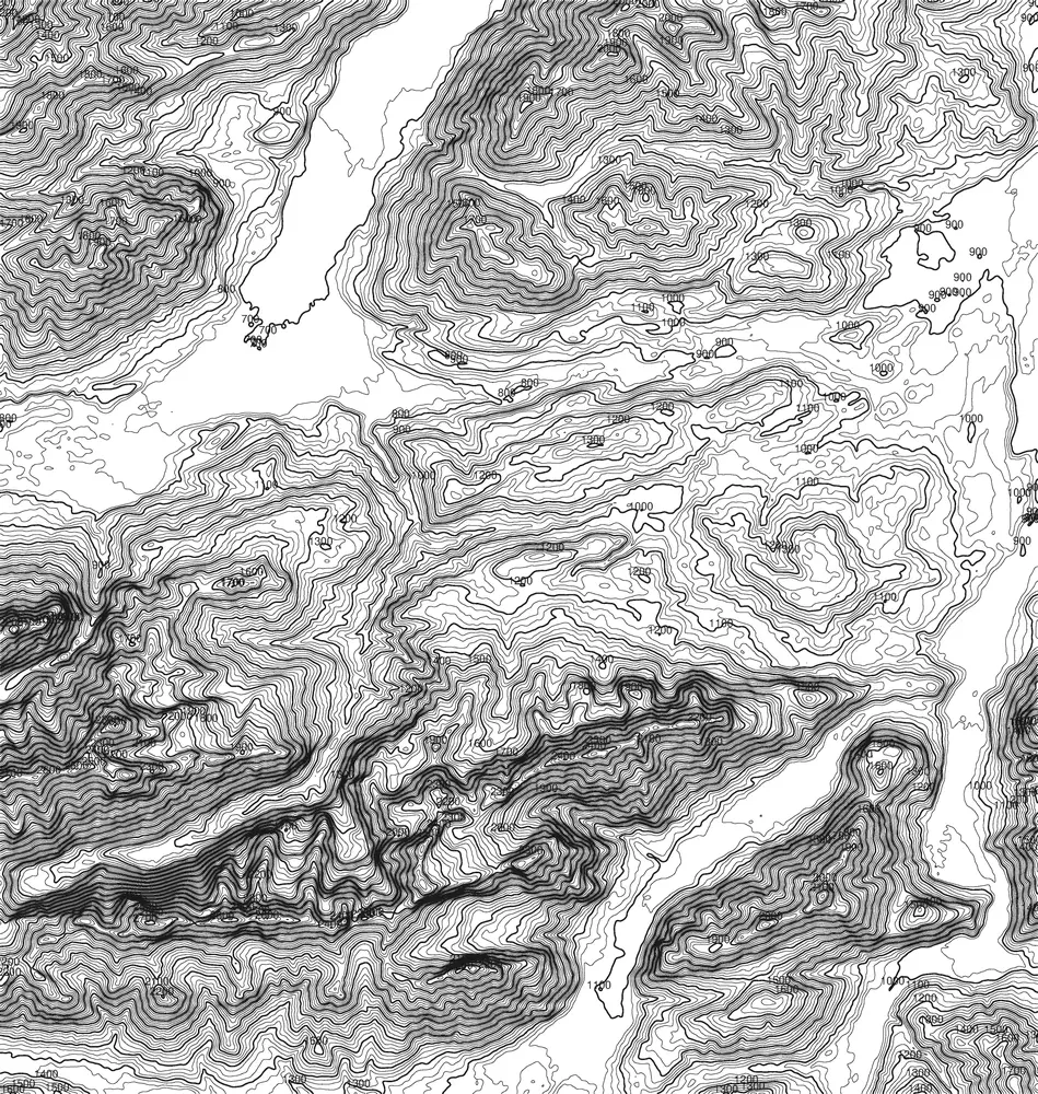
2.633 M
Germany
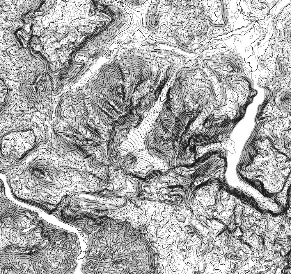
2.607 M
Germany
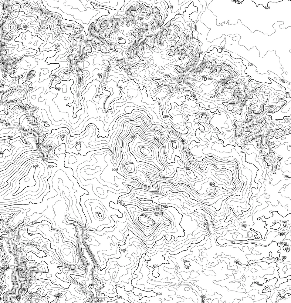
1.141 M
Germany
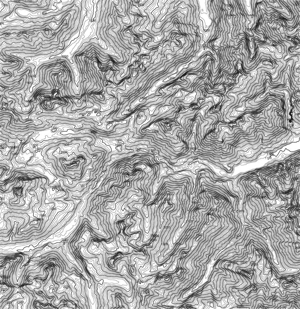
2.599 M
Deutschland / Österreich
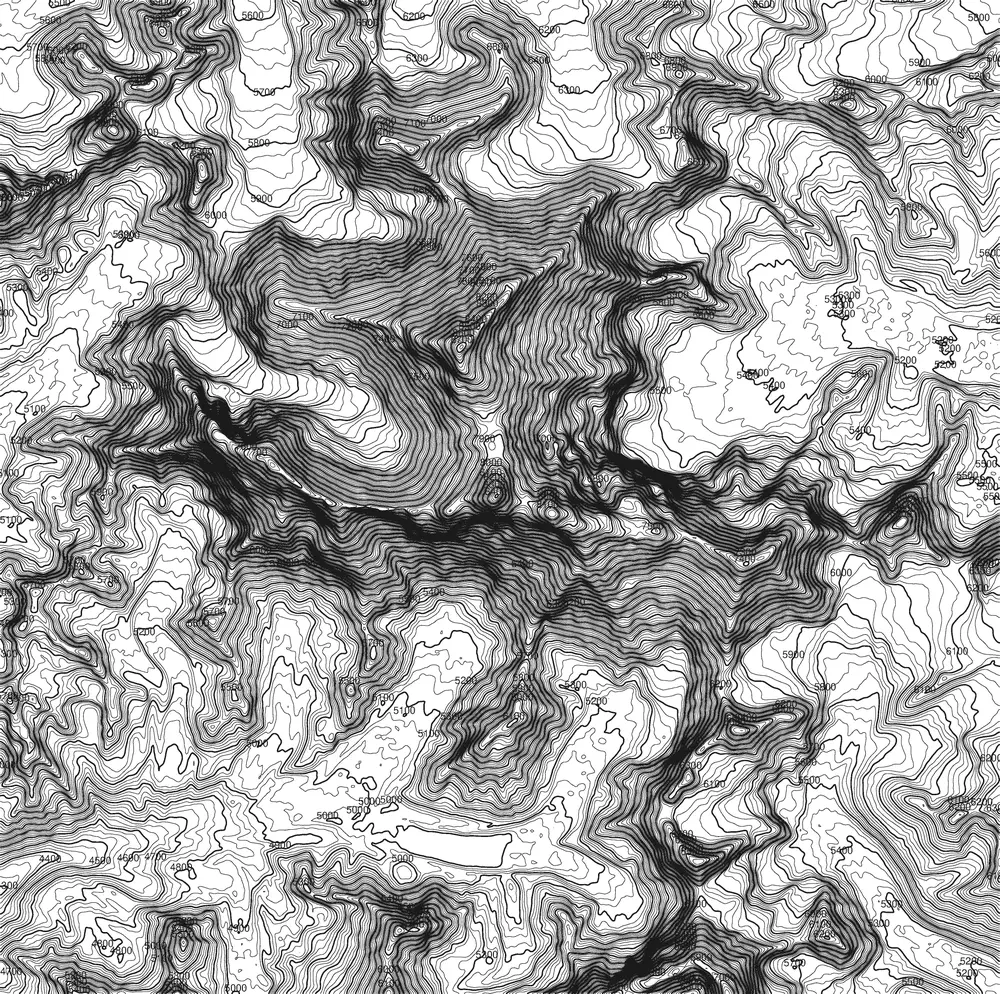
8.516 M
Nepal / China
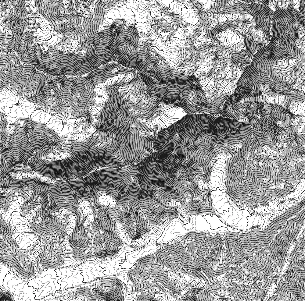
8.126 M
Pakistan
3.405 M
Argentinien / Chile
Contour-line pack · All peaks
Every contour-line graphic as a high-resolution pack — available for instant download.
€29
Buy the packSide project · peak-maps.com
Want just one specific peak? At peak-maps.com you'll find individual contour-line maps as a standalone project.
Go to peak-maps.comFigure-ground · Site plan · Topography
Figure-ground plans, site plans and map data for every city — high-resolution and available instantly.
All plansMore in the Catalogue
Countries & Regions
Just your email — no subscription needed. The download starts right here.