
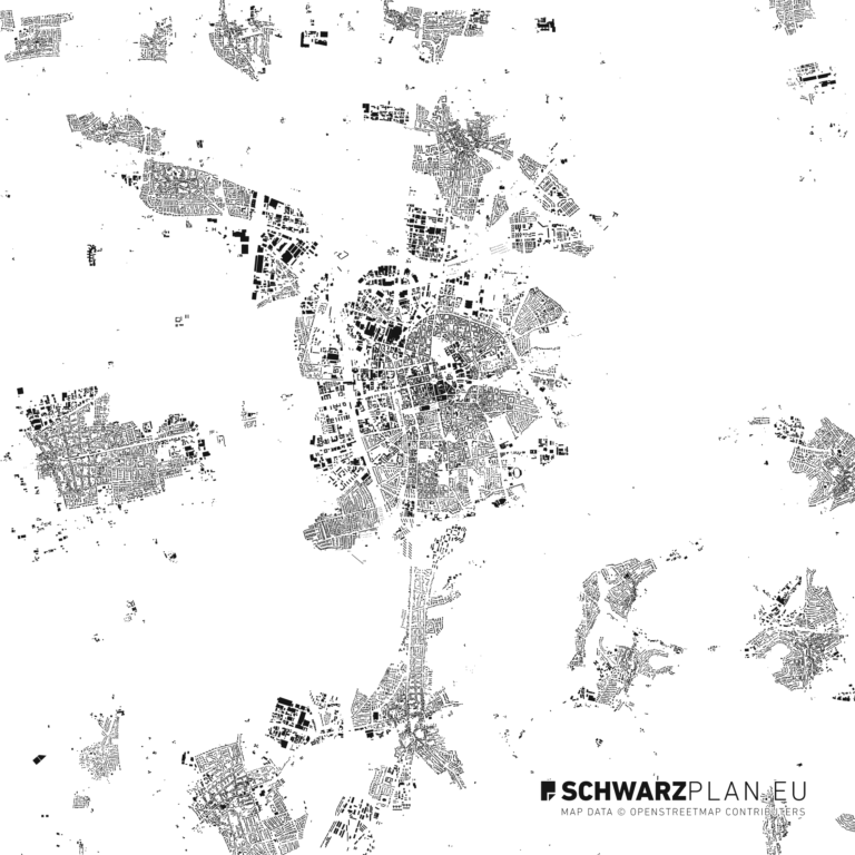
Create a location map
A location map is a simplified map extent showing the way to a destination. Six steps build it from a base map you are allowed to use – and that is exactly where most attempts fail: a screenshot from a map service does not belong on your own letterhead.
Legal position · tools · export
The base map first
Which map are you allowed to use?
This question belongs at the start, not the end. A finished sketch on the wrong base is wasted work, and the cease-and-desist letter arrives only once the flyer is printed.
In short: a screenshot from Google Maps may not go on your own flyer, letterhead or invitation. OpenStreetMap may – commercially too, with attribution. That is the whole difference, and it decides half the work.
| Base map | On your own printed matter | Condition |
|---|---|---|
| Screenshot from Google Maps, Apple Maps, Bing Maps | not permitted | The terms permit embedding the map on a website, not freely reusing an extent on your own printed matter |
| OpenStreetMap | permitted | Attribution “© OpenStreetMap contributors”; passing the data on as a dataset again under the ODbL |
| Open geodata from the federal states | permitted | Usually Datenlizenz Deutschland – attribution as specified by the state |
| Licensed vector city map | permitted | Under the terms of the licence you bought |
| Drawn from scratch, no source | permitted | None – but it takes time |
This overview describes common practice and is not legal advice. In case of doubt, the terms of use of the source in question apply.
Guide
Six steps to a location map
-
01
Decide on the extent and the audience
First decide where people are coming from: across town, off the motorway, by train. The extent follows from that, not from the paper size. A sketch for pedestrians shows four blocks; one for long-distance arrivals shows two motorway exits.
-
02
Use a base map you are allowed to use
This is the step where most sketches fail. Permitted: OpenStreetMap data with attribution, open state geodata, and purchased vector plans with a licence. Not permitted: a screenshot taken from a map service.
-
03
Reduce ruthlessly
A location map is not a map, it is directions with geometry. Remove everything that does not aid orientation: house numbers, side streets with no function, shops, contour lines. What remains is the approach roads, one or two landmarks and the destination.
-
04
Mark and label the destination
One marker, one address, done. Where the entrance is not obvious, add an arrow – for courtyards, works gates and car parks that arrow is the real value of the sketch.
-
05
North, scale, source
Three small details that separate a sketch from a scribble: a north arrow, a scale bar rather than a scale ratio (the bar stays correct when the sketch is resized) and the attribution for the map data.
-
06
Export as vector
PDF or SVG, not JPG. The sketch will end up on a letterhead, in an invitation and on a website – at three sizes. As a vector it survives all three; as a pixel image only the one it was exported for.
Tools
What to draw it in
| Tool | For what | Base map |
|---|---|---|
| Graphics software (Illustrator, Affinity Designer, Inkscape) | The designed sketch for printed matter | Open a vector PDF as the base, reduce it, label it |
| QGIS | When you want to assemble the data yourself | OpenStreetMap export or open state geodata |
| CAD (AutoCAD, Vectorworks, ArchiCAD) | When the sketch goes into a drawing set | Attach DWG or DXF as an external reference |
| Online generator | Fast and one-off, with no design ambition | Read the licence terms first – they vary a great deal |
Shortcut
Skip step 2
The time-consuming part is a licence-safe base map. A ready-made vector city map brings one along: streets, buildings, water and green already sit on separate layers. You hide what does not aid orientation, mark the destination, and you are done – with separate layers, reducing is a matter of minutes rather than hours.
For a single plot rather than a slice of city, the route runs through the cadastral map: find the plot, set the extent, download it as an A4 extract.
FAQ