
Finding a parcel and reading the German cadastral map

Every piece of land in Germany has a number. Anyone buying, building on or subdividing a plot runs into terms like Gemarkung, Flur and Flurstück — and into the question of where to look them up. This article explains how a German cadastral map is put together, how to find your parcel and when you need an official extract.
At a glance
- Flurkarte, Liegenschaftskarte and Katasterkarte all mean the same map — the term varies by federal state.
- It shows parcel boundaries, buildings and official parcel numbers — not the owners.
- Viewing it is free. An official, certified extract costs money and comes from the cadastral office.
- For most purposes — due diligence, design work, presentations — an uncertified excerpt is enough.
How a cadastral map is structured
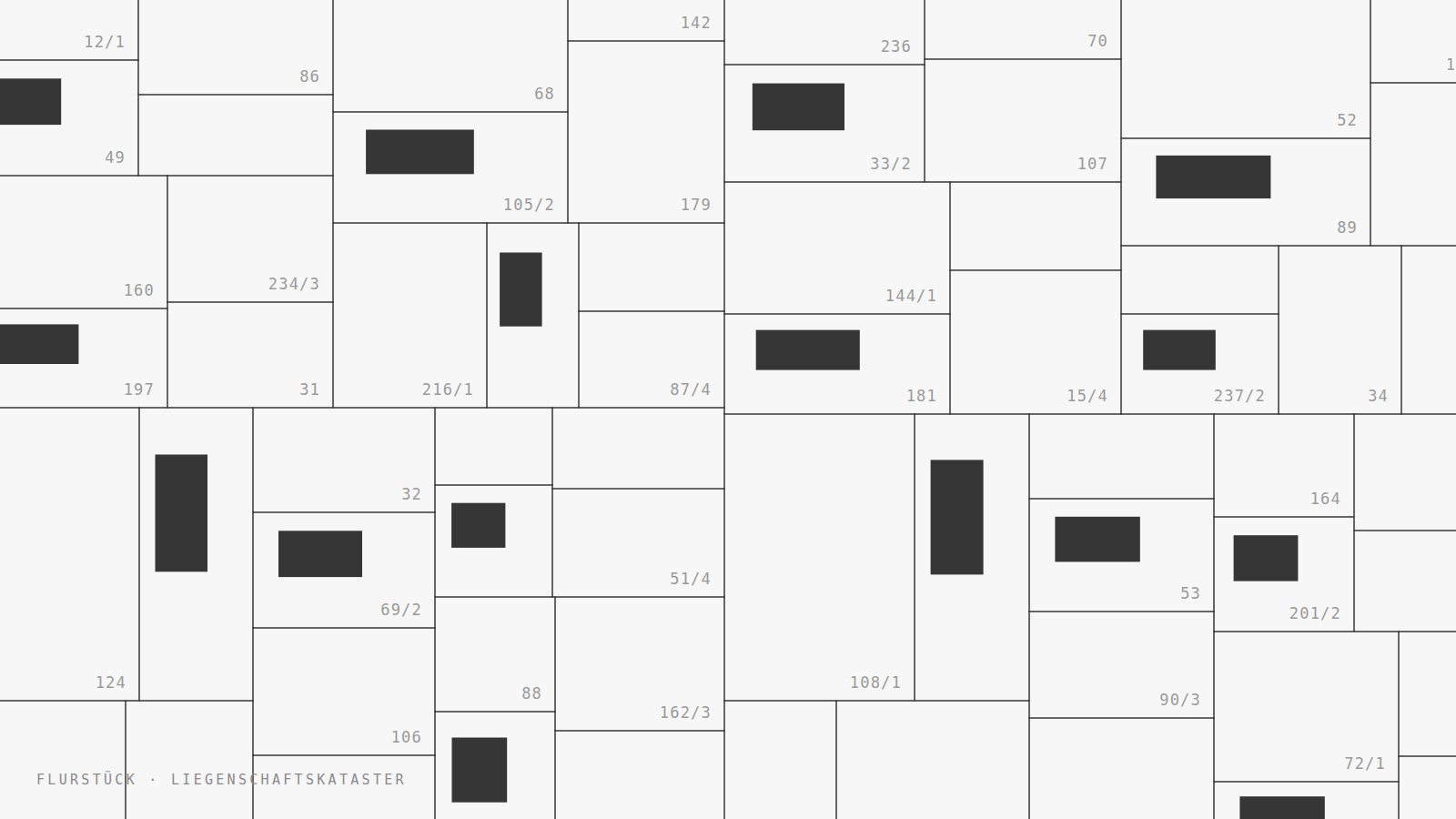
The cadastral map is the graphic half of the Liegenschaftskataster — the official register of all land parcels. It records where a parcel begins and ends, which buildings stand on it and what number it carries. What it does not record is ownership: that lives in the land register (Grundbuch), and access there requires a demonstrated legitimate interest.
A parcel’s official identifier has three parts:
- Gemarkung — a cadastral district, usually several hundred hectares, historically aligned with village and borough boundaries. Each carries a four-digit number.
- Flur — a cadastral section subdividing the district, numbered sequentially.
- Flurstück — the parcel itself, often written as a fraction: subdividing parcel 12 produces 12/1 and 12/2.
“Gemarkung Steglitz, Flur 42, Flurstück 118/3” is therefore an unambiguous address — independent of any street name or house number that might change.
Why the map has a different name in every state
Surveying in Germany is a matter for the federal states. The same map is called Flurkarte in Bavaria, Liegenschaftskarte in North Rhine-Westphalia and simply Katasterkarte elsewhere. The portals are separate too: each state runs its own, with its own map extent, its own search and its own terms of use.
In practice that means a long search if you don’t know which portal you need. Our cadastral map puts the parcel boundaries of all states onto one map and names the responsible state portal and data source for every parcel.
Finding your parcel — in three steps
- Enter the address. The map jumps to the location. Zoom in until the parcel boundaries appear — they fade in from mid zoom levels.
- Click the plot. A panel opens with cadastral district, section, parcel number, area in square metres, federal state and data vintage.
- Copy the identifier. The complete official identifier copies with one click — exactly what you need for applications, purchase contracts or an enquiry to the cadastral office.
The area figure is computed from the geometry. It is a good approximation, not an official area. For a purchase contract, the area recorded in the cadastre is what counts.
When it has to be an official extract
An official or certified extract carries a seal and a signature confirming that its content matches the cadastre. It is available only from the cadastral office or from a publicly appointed surveyor (ÖbVI). You need one primarily when an authority or a notary explicitly asks for it:
- for a building application, as the official site plan — requirements differ by state building code
- for subdivisions and boundary determinations
- for notarised contracts, where the notary requests one
What it costs and where to apply is covered in applying for a cadastral map. For the building application specifically, see site plan for a building application.
And when it doesn’t have to be official?
Most of the time certification isn’t the point — a clean drawing is: an excerpt for due diligence, a base for the design, an appendix for a presentation. For that you can generate a to-scale DIN A4 extract straight from the map, with a title block, scale bar and the full parcel identifier.
The extract is uncertified and therefore not an official site plan under any German state building code. That statement appears on the sheet itself — anyone who has to file with an authority needs the official route above.
Frequently asked
Does viewing the cadastral map cost anything?
No. The state portals and our map show boundaries and parcel numbers free of charge. Only the official, certified extract from the cadastral office carries a fee.
Can I see who owns a plot?
No. Owners are recorded in the land register, not in the cadastral map. Access to the land register requires a demonstrated legitimate interest — as a prospective buyer with evidence, for instance, or as a creditor.
How current is the data?
Each parcel shows the data vintage of its state. States publish at different intervals; after a subdivision or a new survey it can take weeks for the change to reach the map.
What does a parcel number like 118/3 mean?
The fraction indicates a subdivision. Original parcel 118 was split into several new ones, numbered 118/1, 118/2, 118/3. The old number is not reused.
May I use the map in my own drawings?
That depends on the state. Most publish their base geodata under the Data Licence Germany, which permits reuse with attribution. The applicable attribution is shown alongside each parcel.
From parcel to finished plan
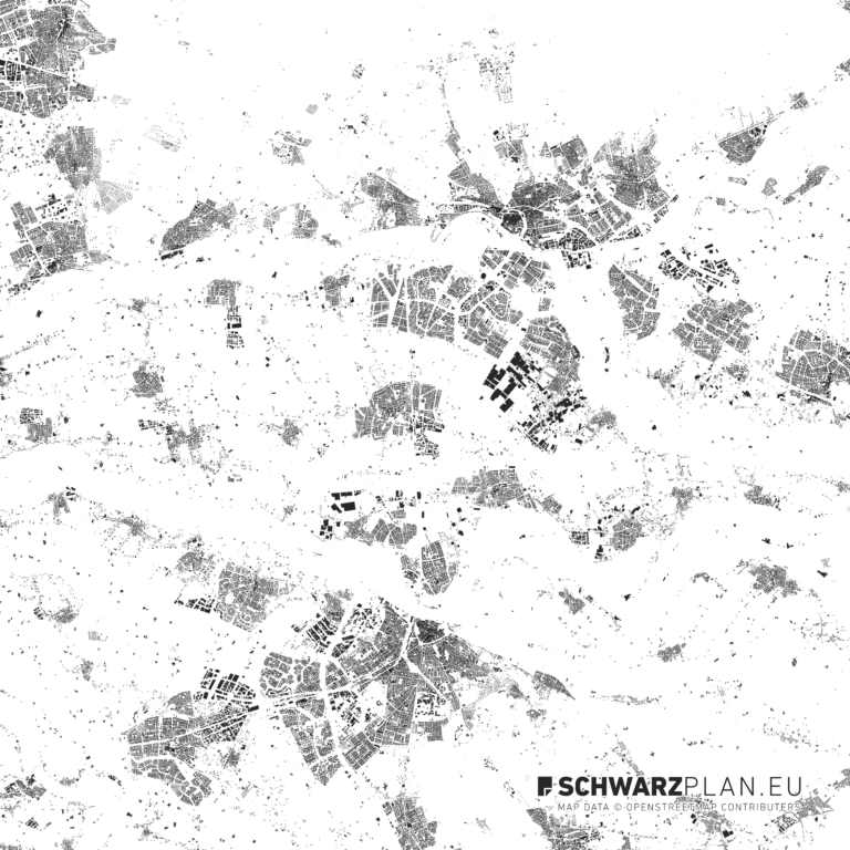
The cadastral map shows the plot. Design and analysis usually need more: the urban context, the terrain, the surrounding fabric. Our geodata provide the outlines, the contour maps the relief, and the figure-ground plans the built context — as PDF, DXF and DWG with separated layers.
Access All Plans
Every plan. One pass.
Instead of buying plan by plan: a full year of access to the entire archive — every city, every format, every layer.
View Access All Plans 99 €