
The new Schwarzplan.eu — 2026 relaunch

Schwarzplan.eu is new. After months of work we have rebuilt the platform from the ground up — new design, clearer structure, faster downloads and a set of new features for architects, urban planners and students. This post covers what changed with the 2026 relaunch.
What’s new
- Cadastral map — parcel boundaries across the German federal states on one map, free of charge.
- DIN A4 extract — a to-scale excerpt of your parcel as PDF, straight from the map.
- Free geodata — outlines of cities, countries and continents as GeoJSON and SVG.
- Contour lines as a separate layer in the plans, plus the Peak Maps.
- New design system, faster pages, fully bilingual.
A design that puts the plans first
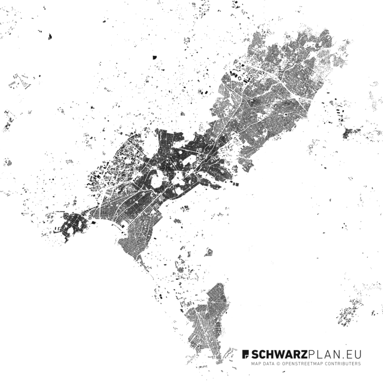
At the heart of the relaunch is a new design system. Every page is reduced to what matters: generous white space, clear typography and a consistently monochrome layout that never competes with the thing it exists for — the figure-ground plan itself. The figure-ground drawing, in which built fabric reads black and open space white, is cartographically spare and graphically strong. The interface takes its cue from exactly that.
The result: cities, formats and scales are graspable at a glance, without visual noise. On a desktop in the office or on a phone on site, the layout adapts and stays orderly.
New: the cadastral map
The biggest addition isn’t in the shop at all. Our cadastral map puts the parcel boundaries of the German federal states onto one map — until now that meant knowing sixteen separate state portals. Clicking a plot shows the cadastral district, section, parcel number, area, data vintage and the attribution required by that state. Free, no sign-up.
How to read it is covered in finding a parcel and reading the cadastral map. Which licence applies in which state is set out in base geodata and their licences.
And the extract from it
From any parcel you can generate a to-scale DIN A4 extract — with a title block, scale bar, area figure and the complete identifier. Preview in the browser, PDF after purchase, no authority and no sign-up. The extract is uncertified and does not replace an official site plan; for anything that doesn’t have to be filed with an authority, it does the job.
Free figure-ground plans — simpler than ever
Many people know us through our free figure-ground plans. We have deliberately kept them low-threshold: one email address, and the download link appears on the page immediately — no detours, no compulsory subscription. A plan goes straight into a design or a presentation.
Free geodata and outlines
Also new are our free geodata and outlines: city, country and continent outlines as GeoJSON and SVG, free to download. A basis for GIS analysis, diagrams, infographics or your own cartography. That makes Schwarzplan.eu a data source beyond the plan shop.
Contour lines
Topography decides many designs. The landform therefore sits as its own layer in the plans, and with the Peak Maps the 49 highest summits in the world are available as pure contour drawings. What sits behind those lines is explained in contour lines and the digital terrain model.
Licensing that fits the project
We have made licensing more transparent. For most architectural, academic and internal projects the standard architecture licence is sufficient — at no extra cost. Only when a plan is printed or published in a publicly circulated work does the extended commercial licence apply.
Faster, mobile and bilingual
Underneath sits a new technical foundation. Pages load noticeably faster, search and filters respond immediately, and the platform is built for mobile throughout. All content exists in German and English. For automated access there is an MCP interface and a JSON API.
Who this is for
- Architects — for competitions, presentations and design bases.
- Urban and regional planners — for analysis, reports and urban studies.
- Students — for coursework and final projects, on their own terms.
- Designers and data people — for maps, infographics and wall pieces.
Every plan, one pass
For practices with changing projects and students who design a lot there is the Access All Plans pass: a full year of unlimited downloads from the entire library of over 290 site and figure-ground plans, at a fixed annual price. Anyone who needs plans regularly saves substantially over buying them one by one.
Access All Plans
Every plan. One pass.
A full year of access to the entire archive — every city, every format, every layer.
View Access All Plans 99 €The best way to get to know the relaunch is to look around: browse the site and figure-ground plans, download a free plan or open the cadastral map. We’d be glad to hear what you think of the new design — just write to us.